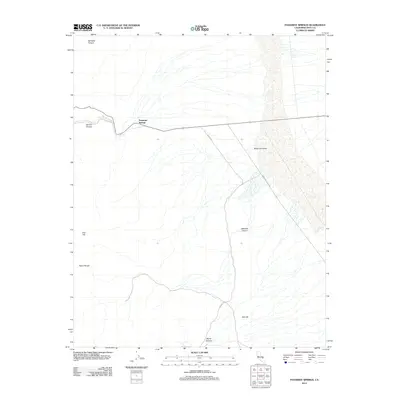
2012 Map of Panamint Springs
USGS Topo · Published 2012About this map
Panamint Springs sits at a critical junction in this desert landscape, where highway routes meet the arid expanse of the Panamint Valley. The map detail highlights the stark transition from the high ridges of the Argus Range down through carved passages like Darwin Canyon and Rainbow Canyon. Historically significant transit corridors are marked by Nadeau Rd, a route tied to the regional freighting history of the late 19th century.
Find a feature on this map
12 named features on this map. Tap any name to fly to it.
Don’t see what you’re looking for? This feature index may not catch every label — zoom into the map to look around manually.
Map Details
Editions of this 2012 Panamint Springs Map
This is the sole edition of this map. No revisions or reprints were ever made.
Other maps of this area

1908 · Ballarat
USGS Topo · 1:250,000

1913 · Ballarat
USGS Topo · 1:250,000

1948 · Death Valley
USGS Topo · 1:250,000

1950 · Darwin
USGS Topo · 1:62,500

1951 · Darwin
USGS Topo · 1:62,500

1951 · Panamint Butte
USGS Topo · 1:62,500

1951 · Maturango Peak
USGS Topo · 1:62,500

1951 · Coso Peak
USGS Topo · 1:62,500

1954 · Death Valley
USGS Topo · 1:250,000

1956 · Death Valley
USGS Topo · 1:250,000