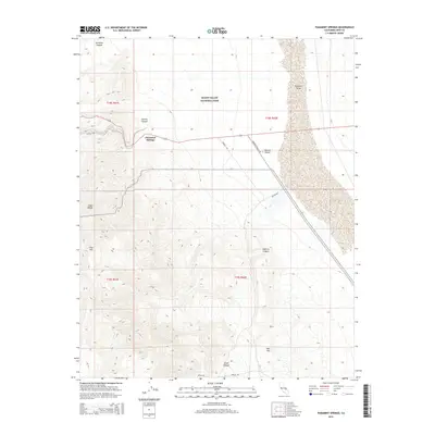
2015 Map of Panamint Springs
USGS Topo · Published 2015About this map
Panamint Springs serves as a critical entry point into the western reaches of Death Valley National Park, where the transition from the high Argus Range down into the expansive Panamint Valley is documented in sharp relief. The landscape is defined by the sharp descents of Darwin Wash and the geological features of Zinc Hill, illustrating a region where transportation and mining history intersect with the desert floor.
Find a feature on this map
20 named features on this map. Tap any name to fly to it.
Don’t see what you’re looking for? This feature index may not catch every label — zoom into the map to look around manually.
Map Details
Editions of this 2015 Panamint Springs Map
This is the sole edition of this map. No revisions or reprints were ever made.
Other maps of this area

1908 · Ballarat
USGS Topo · 1:250,000

1913 · Ballarat
USGS Topo · 1:250,000

1948 · Death Valley
USGS Topo · 1:250,000

1950 · Darwin
USGS Topo · 1:62,500

1951 · Darwin
USGS Topo · 1:62,500

1951 · Panamint Butte
USGS Topo · 1:62,500

1951 · Maturango Peak
USGS Topo · 1:62,500

1951 · Coso Peak
USGS Topo · 1:62,500

1954 · Death Valley
USGS Topo · 1:250,000

1956 · Death Valley
USGS Topo · 1:250,000