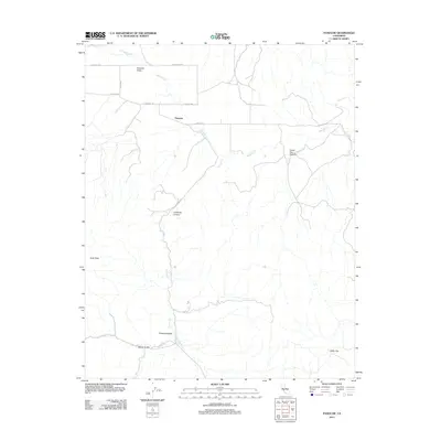
2012 Map of Panoche
USGS Topo · Published 2012About this map
Panoche serves as the focal point of this arid California landscape, situated at the junction where Panoche Rd meets the routes leading into the interior canyons. The geography is defined by a series of parallel valleys and drainages, most notably Panoche Valley and Pimental Valley, which are separated by prominent ridgelines and peaks such as Buck Peak. The drainage network, including Panoche Cr and Griswold Cr, illustrates the seasonal water patterns of the San Benito region.
Find a feature on this map
18 named features on this map. Tap any name to fly to it.
Don’t see what you’re looking for? This feature index may not catch every label — zoom into the map to look around manually.
Map Details
Editions of this 2012 Panoche Map
This is the sole edition of this map. No revisions or reprints were ever made.
Other maps of this area

1913 · Panoche
USGS Topo · 1:125,000

1915 · Priest Valley
USGS Topo · 1:125,000

1921 · Tierra Loma School
USGS Topo · 1:31,680

1923 · Tierra Loma School
USGS Topo · 1:31,680

1943 · New Idria
USGS Topo · 1:62,500

1943 · Hernandez Valley
USGS Topo · 1:62,500

1944 · Hernandez Valley
USGS Topo · 1:62,500

1944 · Panoche Valley
USGS Topo · 1:62,500

1948 · Santa Cruz
USGS Topo · 1:250,000

1955 · Santa Cruz
USGS Topo · 1:250,000