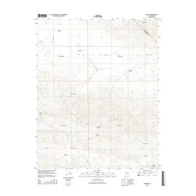
2015 Map of Panoche
USGS Topo · Published 2015About this map
Panoche Valley serves as a central corridor through the rugged Inner South Coast Ranges, where the Panoche settlement sits at the junction of Panoche Rd and Recalde Rd. The landscape is defined by its complex drainage systems, including Panoche Cr and Vallecitos Cr, which carve through the Panoche Hills and Griswold Hills. The map captures a region primarily utilized for ranching and transit between the San Joaquin Valley and the coastal mountains. Historically significant routes like New Idria Rd lead toward the remote mining districts to the south, while terrain features like Babies Gulch and Griswold Canyon offer specific landmarks for local history and property research. The boundary between Fresno and San Benito counties cuts across the northeastern peaks, illustrating the intersection of administrative lines and natural topography.
Find a feature on this map
28 named features on this map. Tap any name to fly to it.
Don’t see what you’re looking for? This feature index may not catch every label — zoom into the map to look around manually.
Map Details
Editions of this 2015 Panoche Map
This is the sole edition of this map. No revisions or reprints were ever made.
Other maps of this area

1913 · Panoche
USGS Topo · 1:125,000

1915 · Priest Valley
USGS Topo · 1:125,000

1921 · Tierra Loma School
USGS Topo · 1:31,680

1923 · Tierra Loma School
USGS Topo · 1:31,680

1943 · New Idria
USGS Topo · 1:62,500

1943 · Hernandez Valley
USGS Topo · 1:62,500

1944 · Hernandez Valley
USGS Topo · 1:62,500

1944 · Panoche Valley
USGS Topo · 1:62,500

1948 · Santa Cruz
USGS Topo · 1:250,000

1955 · Santa Cruz
USGS Topo · 1:250,000