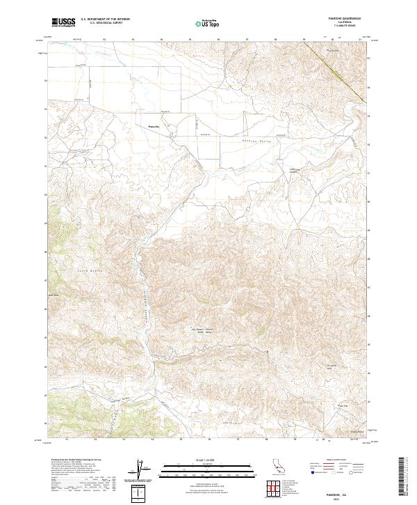
2021 Map of Panoche
USGS Topo · Published 2021About this map
The Panoche Valley provides a stark contrast between the flat alluvial floor and the complex topography of the Diablo Range. Located along the border of Fresno and San Benito counties, the settlement of Panoche serves as a central point in an area defined by rugged drainage systems like Griswold Canyon and Babies Gulch. The road network, including the historic New Idria Rd and Panoche Rd, follows the natural contours of the land, connecting isolated valleys and summits such as Cerro Bonito.
Find a feature on this map
32 named features on this map. Tap any name to fly to it.
Don’t see what you’re looking for? This feature index may not catch every label — zoom into the map to look around manually.
Map Details
Editions of this 2021 Panoche Map
This is the sole edition of this map. No revisions or reprints were ever made.
Other maps of this area

1913 · Panoche
USGS Topo · 1:125,000

1915 · Priest Valley
USGS Topo · 1:125,000

1921 · Tierra Loma School
USGS Topo · 1:31,680

1923 · Tierra Loma School
USGS Topo · 1:31,680

1943 · New Idria
USGS Topo · 1:62,500

1943 · Hernandez Valley
USGS Topo · 1:62,500

1944 · Hernandez Valley
USGS Topo · 1:62,500

1944 · Panoche Valley
USGS Topo · 1:62,500

1948 · Santa Cruz
USGS Topo · 1:250,000

1955 · Santa Cruz
USGS Topo · 1:250,000