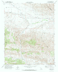
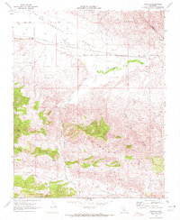
1969 Map of Panoche
USGS Topo · Published 1972About this map
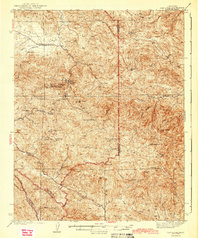
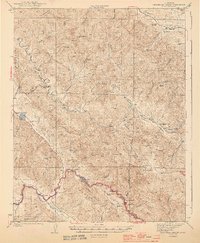
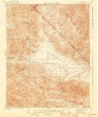
Panoche Valley serves as a central corridor in this late 1960s topographic study, where agricultural and industrial infrastructure meets the desert hills of San Benito County. The settlement of Panoche is anchored by the Panoche School, with Panoche Road and Yturiarte Road providing local access across the valley floor. The map records a landscape transitioning into resource extraction, most notably evidenced by the extensive Vallecitos Oil Field and various pipelines traversing the terrain.
Find a feature on this map
26 named features on this map. Tap any name to fly to it.
Don’t see what you’re looking for? This feature index may not catch every label — zoom into the map to look around manually.
Map Details
Editions of this 1969 Panoche Map
2 editions found
Other maps of this area

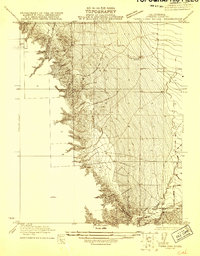
1913 · Panoche
USGS Topo · 1:125,000

1915 · Priest Valley
USGS Topo · 1:125,000
1921 · Tierra Loma School
USGS Topo · 1:31,680
1923 · Tierra Loma School
USGS Topo · 1:31,680
1943 · New Idria
USGS Topo · 1:62,500

1943 · Hernandez Valley
USGS Topo · 1:62,500
1944 · Hernandez Valley
USGS Topo · 1:62,500
1944 · Panoche Valley
USGS Topo · 1:62,500

1948 · Santa Cruz
USGS Topo · 1:250,000

1955 · Santa Cruz
USGS Topo · 1:250,000