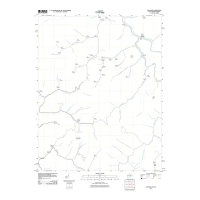
2011 Map of Panther
USGS Topo · Published 2011About this map
Tug Fork and Panther Creek wind through this corner of McDowell County, defining a landscape shaped by narrow hollows and high ridges. The settlement of Panther serves as a central point, anchored by the Panther Post Office near the mouth of Depot Hollow. This 2011 survey reveals an intricate network of family-named cemeteries, such as Sullivan Cemetery, Stacy Cemetery, and Justice Cemetery, which are tucked away on high ground like Estep Ridge or along the many forks and branches.
Find a feature on this map
94 named features on this map. Tap any name to fly to it.
Don’t see what you’re looking for? This feature index may not catch every label — zoom into the map to look around manually.
Map Details
Editions of this 2011 Panther Map
This is the sole edition of this map. No revisions or reprints were ever made.
Other maps of this area

1886 · Grundy
USGS Topo · 1:125,000

1887 · Warfield
USGS Topo · 1:125,000

1890 · Grundy
USGS Topo · 1:125,000

1891 · Tazewell
USGS Topo · 1:125,000

1891 · Oceana
USGS Topo · 1:125,000

1891 · Warfield
USGS Topo · 1:125,000

1892 · Grundy
USGS Topo · 1:125,000

1893 · Oceana
USGS Topo · 1:125,000

1895 · Tazewell
USGS Topo · 1:125,000

1897 · Tazewell
USGS Topo · 1:125,000