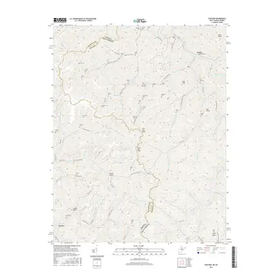
2016 Map of Panther
USGS Topo · Published 2016About this map
Panther sits at the northern edge of this high-relief topography where the narrow valleys of McDowell Co meet the Virginia West Virginia border. The landscape is defined by its extensive network of family-named burial grounds, including the Sullivan Cem, Justice Cem, and Blankenship Cem, which are often situated on elevated land such as Estep Ridge. This concentration of cemeteries reflects the long-standing family ties and traditional settlement patterns of the Appalachian coal country.
Find a feature on this map
112 named features on this map. Tap any name to fly to it.
Don’t see what you’re looking for? This feature index may not catch every label — zoom into the map to look around manually.
Map Details
Editions of this 2016 Panther Map
This is the sole edition of this map. No revisions or reprints were ever made.
Other maps of this area

1886 · Grundy
USGS Topo · 1:125,000

1887 · Warfield
USGS Topo · 1:125,000

1890 · Grundy
USGS Topo · 1:125,000

1891 · Tazewell
USGS Topo · 1:125,000

1891 · Oceana
USGS Topo · 1:125,000

1891 · Warfield
USGS Topo · 1:125,000

1892 · Grundy
USGS Topo · 1:125,000

1893 · Oceana
USGS Topo · 1:125,000

1895 · Tazewell
USGS Topo · 1:125,000

1897 · Tazewell
USGS Topo · 1:125,000