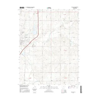
2015 Map of Paola East
USGS Topo · Published 2015About this map
Paola serves as the focal point of this Eastern Kansas landscape, where the residential street grid gives way to a network of rural townships and farmsteads. The southern boundary is defined by the winding course of the Marais des Cygnes River, while the northern reaches include the waters of Miola Lake. This survey illustrates a well-settled agricultural region punctuated by small communities such as Somerset, Lento, and Block. Genealogists will find particular value in the documentation of several local burial grounds, including Somerset Cem, Highland Cem, and Holy Cross Cem, which are scattered throughout the countryside. Transport and infrastructure are represented by the presence of the Cloud 9 Airport and a dense network of numbered county roads that follow the section lines of the Public Land Survey System, reflecting the organized expansion of Miami County.
Find a feature on this map
51 named features on this map. Tap any name to fly to it.
Don’t see what you’re looking for? This feature index may not catch every label — zoom into the map to look around manually.
Map Details
Editions of this 2015 Paola East Map
This is the sole edition of this map. No revisions or reprints were ever made.
Other maps of this area

1887 · Olathe
USGS Topo · 1:125,000

1887 · Mound City
USGS Topo · 1:125,000

1893 · Mound City
USGS Topo · 1:125,000

1893 · Olathe
USGS Topo · 1:125,000

1947 · Lawrence
USGS Topo · 1:250,000

1950 · Lawrence
USGS Topo · 1:250,000

1956 · Bucyrus
USGS Topo · 1:24,000

1956 · Paola East
USGS Topo · 1:24,000

1956 · Lawrence
USGS Topo · 1:250,000
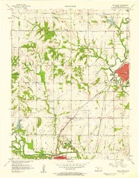
1957 · Paola West
USGS Topo · 1:24,000