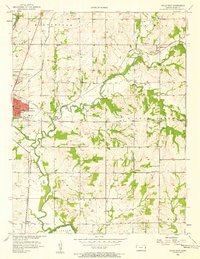
1956 Map of Paola East
USGS Topo · Published 1958About this map
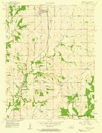
Paola and the surrounding Miami County agricultural landscape are captured here during a period of steady mid-century development. The eastern portion of the town reveals a hub of community life, anchored by educational and religious institutions such as Ursuline Academy and St Patricks Sch. The map documents a rural economy transitioning from pure agriculture to include localized energy extraction, evidenced by numerous Oil Wells and a Gas Well scattered across the townships of Marysville and Middle Creek.
Find a feature on this map
39 named features on this map. Tap any name to fly to it.
Don’t see what you’re looking for? This feature index may not catch every label — zoom into the map to look around manually.
Map Details
Editions of this 1956 Paola East Map
2 editions found
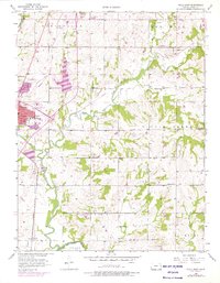
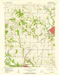
Other maps of this area

1887 · Olathe
USGS Topo · 1:125,000

1887 · Mound City
USGS Topo · 1:125,000

1893 · Mound City
USGS Topo · 1:125,000

1893 · Olathe
USGS Topo · 1:125,000

1947 · Lawrence
USGS Topo · 1:250,000

1950 · Lawrence
USGS Topo · 1:250,000
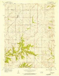
1956 · Bucyrus
USGS Topo · 1:24,000

1956 · Lawrence
USGS Topo · 1:250,000
1957 · Paola West
USGS Topo · 1:24,000
1957 · Spring Hill
USGS Topo · 1:24,000