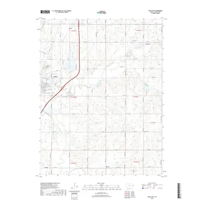
2018 Map of Paola East
USGS Topo · Published 2018About this map
The city of Paola serves as a focal point for this Miami County landscape, where urban streets like E Miami St and E Osage St meet the open agricultural land of eastern Kansas. The eastern reaches of the town transition into a network of small drainages and creeks, including Bull Creek, South Wea Creek, and Elm Br, all eventually feeding toward the Marais des Cygnes River at the southern edge.
Find a feature on this map
73 named features on this map. Tap any name to fly to it.
Don’t see what you’re looking for? This feature index may not catch every label — zoom into the map to look around manually.
Map Details
Editions of this 2018 Paola East Map
This is the sole edition of this map. No revisions or reprints were ever made.
Other maps of this area

1887 · Olathe
USGS Topo · 1:125,000

1887 · Mound City
USGS Topo · 1:125,000

1893 · Mound City
USGS Topo · 1:125,000

1893 · Olathe
USGS Topo · 1:125,000

1947 · Lawrence
USGS Topo · 1:250,000

1950 · Lawrence
USGS Topo · 1:250,000

1956 · Bucyrus
USGS Topo · 1:24,000

1956 · Paola East
USGS Topo · 1:24,000

1956 · Lawrence
USGS Topo · 1:250,000
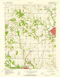
1957 · Paola West
USGS Topo · 1:24,000