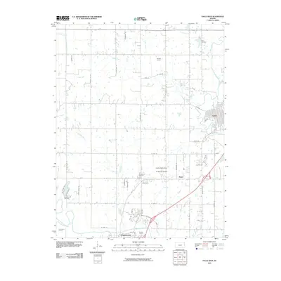
2009 Map of Paola West
USGS Topo · Published 2009About this map
Paola and Osawatomie anchor this Miami County landscape, where the confluence of regional transit and water management defines the local geography. The winding Marais des Cygnes River flows along the southern edge of the survey, shaped by infrastructure like the Osawatomie City Dam. Between these primary settlements, the small community of Ringer and the Osawatomie-Paola Municipal Airport occupy the level ground between the hills.
Find a feature on this map
60 named features on this map. Tap any name to fly to it.
Don’t see what you’re looking for? This feature index may not catch every label — zoom into the map to look around manually.
Map Details
Editions of this 2009 Paola West Map
This is the sole edition of this map. No revisions or reprints were ever made.
Other maps of this area

1885 · Garnett
USGS Topo · 1:125,000

1885 · Lawrence
USGS Topo · 1:125,000

1887 · Olathe
USGS Topo · 1:125,000

1887 · Mound City
USGS Topo · 1:125,000

1889 · Lawrence
USGS Topo · 1:125,000

1893 · Mound City
USGS Topo · 1:125,000

1893 · Olathe
USGS Topo · 1:125,000

1894 · Garnett
USGS Topo · 1:125,000

1947 · Lawrence
USGS Topo · 1:250,000

1950 · Lawrence
USGS Topo · 1:250,000