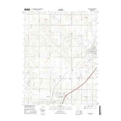
2015 Map of Paola West
USGS Topo · Published 2015About this map
The Marais des Cygnes River winds across the southern reaches of this landscape, anchoring the development of Osawatomie and the rural areas of Miami County. This mid-2010s survey reveals a high density of civic and institutional sites, including the Miami County Airport and the complex around the Osawatomie State Hospital Cem. The settlement patterns here are deeply rooted in local history, as evidenced by the numerous burial grounds such as the Miami County Poor Farm Cem and Oakwood Cem.
Find a feature on this map
49 named features on this map. Tap any name to fly to it.
Don’t see what you’re looking for? This feature index may not catch every label — zoom into the map to look around manually.
Map Details
Editions of this 2015 Paola West Map
This is the sole edition of this map. No revisions or reprints were ever made.
Other maps of this area

1885 · Garnett
USGS Topo · 1:125,000

1885 · Lawrence
USGS Topo · 1:125,000

1887 · Olathe
USGS Topo · 1:125,000

1887 · Mound City
USGS Topo · 1:125,000

1889 · Lawrence
USGS Topo · 1:125,000

1893 · Mound City
USGS Topo · 1:125,000

1893 · Olathe
USGS Topo · 1:125,000

1894 · Garnett
USGS Topo · 1:125,000

1947 · Lawrence
USGS Topo · 1:250,000

1950 · Lawrence
USGS Topo · 1:250,000