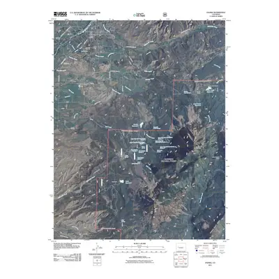
2011 Map of Paonia
USGS Topo · Published 2011About this map
Paonia sits at the northern edge of this West Slope landscape, centered near the Paonia Post Office and the banks of the North Fork Gunnison River. The town’s early infrastructure and community history are visible through landmarks such as Bethlehem Cemetery and Cedar Hill Cemetery, while the surrounding geography is defined by a series of prominent mesas including Stewart Mesa, McDonald Mesa, and Lamborn Mesa.
Find a feature on this map
75 named features on this map. Tap any name to fly to it.
Don’t see what you’re looking for? This feature index may not catch every label — zoom into the map to look around manually.
Map Details
Editions of this 2011 Paonia Map
This is the sole edition of this map. No revisions or reprints were ever made.
Other maps of this area

1938 · Mt. Gunnison
USGS Topo · 1:48,000

1945 · Mount Gunnison
USGS Topo · 1:62,500

1956 · Montrose
USGS Topo · 1:250,000

1959 · Montrose
USGS Topo · 1:250,000

1960 · Montrose
USGS Topo · 1:250,000

1964 · Minnesota Pass
USGS Topo · 1:24,000
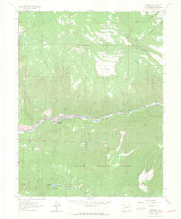
1964 · Somerset
USGS Topo · 1:24,000
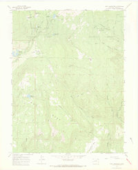
1965 · Gray Reservoir
USGS Topo · 1:24,000

1965 · Mount Guero
USGS Topo · 1:24,000
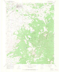
1965 · Paonia
USGS Topo · 1:24,000