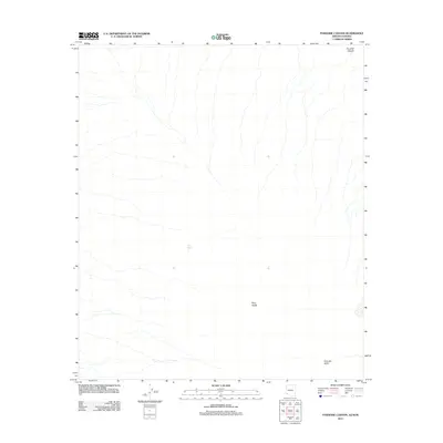
2011 Map of Paradise Canyon
USGS Topo · Published 2011About this map
Paradise Canyon cuts through the northeast corner of this arid landscape along the Arizona-Sonora border, marking a transition into the drainage networks of the desert floor. The hydrology is dominated by the broad, braided path of Tule Wash, which trends across the central part of the quadrangle. This 2011 survey by the U.S. Geological Survey captures a region defined by its distinct geomorphic zones, including the expansive Pinta Sands and the lower reaches of the Pinacate Valley. The map highlights the natural contours and drainage patterns of the borderlands, where seasonal water flow and wind-driven sand determine the character of the terrain. For researchers and historians, the document offers a precise record of these named landforms in a region where human infrastructure is largely absent, focusing instead on the preservation of traditional geographical nomenclature.
Find a feature on this map
4 named features on this map. Tap any name to fly to it.
Don’t see what you’re looking for? This feature index may not catch every label — zoom into the map to look around manually.
Map Details
Editions of this 2011 Paradise Canyon Map
This is the sole edition of this map. No revisions or reprints were ever made.
Other maps of this area

1953 · Ajo
USGS Topo · 1:250,000

1957 · Ajo
USGS Topo · 1:250,000

1958 · Ajo
USGS Topo · 1:250,000

1962 · Ajo
USGS Topo · 1:250,000

1963 · Ajo
USGS Topo · 1:250,000

1965 · O'Neill Hills
USGS Topo · 1:62,500

1965 · Granite Mountains
USGS Topo · 1:62,500

1965 · Isla Pinta
USGS Topo · 1:62,500

1965 · Sierra Arida
USGS Topo · 1:62,500

1967 · Ajo
USGS Topo · 1:250,000