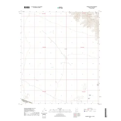
2018 Map of Paradise Canyon
USGS Topo · Published 2018About this map
The United States and Mexico border cuts across the southern reach of this arid landscape, where the Tule Desert meets the northernmost extent of the Pinacate Lava Flow. This 2018 survey by the U.S. Geological Survey documents a remote section of Yuma County characterized by sharp relief and ephemeral drainage patterns. In the northeast corner, the Sierra Pinta range rises abruptly, carved by the deep incisions of Eagle Canyon and Paradise Canyon. Below these peaks, the terrain flattens into the Tule Wash and the expansive Pinacate Valley. The lack of modern road infrastructure underscores the isolation of this desert environment, punctuated only by natural features like the Pinta Playa.
Find a feature on this map
15 named features on this map. Tap any name to fly to it.
Don’t see what you’re looking for? This feature index may not catch every label — zoom into the map to look around manually.
Map Details
Editions of this 2018 Paradise Canyon Map
This is the sole edition of this map. No revisions or reprints were ever made.
Other maps of this area

1953 · Ajo
USGS Topo · 1:250,000

1957 · Ajo
USGS Topo · 1:250,000

1958 · Ajo
USGS Topo · 1:250,000

1962 · Ajo
USGS Topo · 1:250,000

1963 · Ajo
USGS Topo · 1:250,000

1965 · O'Neill Hills
USGS Topo · 1:62,500

1965 · Granite Mountains
USGS Topo · 1:62,500

1965 · Isla Pinta
USGS Topo · 1:62,500

1965 · Sierra Arida
USGS Topo · 1:62,500

1967 · Ajo
USGS Topo · 1:250,000