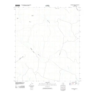
2010 Map of Paradise Draw
USGS Topo · Published 2010About this map
Paradise Valley dominates the southwestern portion of this West Texas terrain, where the ephemeral drainage of Paradise Draw cuts a path through the high desert floor. The landscape is defined by its dramatic elevations, from the isolated prominence of Hat Mountain and Housetop Mountain in the northwest to the flat-topped expanse of Cartwright Mesa in the south.
Find a feature on this map
11 named features on this map. Tap any name to fly to it.
Don’t see what you’re looking for? This feature index may not catch every label — zoom into the map to look around manually.
Map Details
Editions of this 2010 Paradise Draw Map
This is the sole edition of this map. No revisions or reprints were ever made.
Other maps of this area

1895 · Alpine
USGS Topo · 1:125,000

1917 · Buck Hill
USGS Topo · 1:62,500

1918 · Buck Hill
USGS Topo · 1:62,500

1918 · Jordan Gap
USGS Topo · 1:62,500

1925 · Buck Hill
USGS Topo · 1:62,500

1930 · Jordan Gap
USGS Topo · 1:62,500

1954 · Fort Stockton
USGS Topo · 1:250,000

1958 · Fort Stockton
USGS Topo · 1:250,000

1959 · Emory Peak
USGS Topo · 1:250,000

1965 · Emory Peak
USGS Topo · 1:250,000