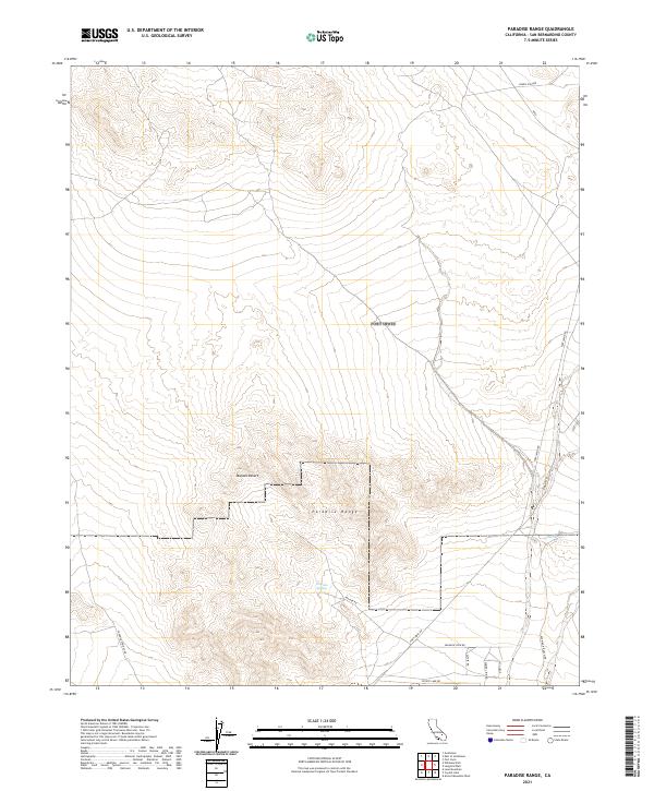
2021 Map of Paradise Range
USGS Topo · Published 2021About this map
The Paradise Range rises from the high desert floor in this 2021 survey of San Bernardino County. Located within the Mojave Desert, the landscape is defined by its arid basins and the scarce but critical water sources of Paradise Springs and Jack Spring. The map documents a sparsely populated region primarily characterized by military or scientific utility, evidenced by the proximity of the Nasa facility and Gemini Station in the northeastern reaches.
Find a feature on this map
20 named features on this map. Tap any name to fly to it.
Don’t see what you’re looking for? This feature index may not catch every label — zoom into the map to look around manually.
Map Details
Editions of this 2021 Paradise Range Map
This is the sole edition of this map. No revisions or reprints were ever made.
Other maps of this area

1933 · Avawatz Mountains
USGS Topo · 1:250,000

1947 · Trona
USGS Topo · 1:250,000

1948 · Trona
USGS Topo · 1:250,000

1948 · Alvord Mountain
USGS Topo · 1:62,500

1948 · Lane Mountain
USGS Topo · 1:62,500

1948 · Goldstone Lake
USGS Topo · 1:62,500

1948 · Tiefort Mountains
USGS Topo · 1:62,500

1951 · Goldstone Lake
USGS Topo · 1:62,500

1951 · Tiefort Mountains
USGS Topo · 1:62,500

1951 · Alvord Mountain
USGS Topo · 1:62,500