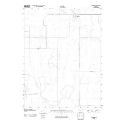
2009 Map of Paradise
USGS Topo · Published 2009About this map
Paradise anchors the northern portion of this Russell County landscape, situated near the confluence of Eagle Creek and Paradise Creek. The settlement's street grid, including Main St and 2nd St, reflects the organized township development typical of the Kansas plains. To the south, the meandering Saline River cuts a distinct path across the quadrangle, flanked by agricultural access routes like Saline Rd and Beatty Rd. This 2009 survey highlights a strictly rectilinear road network—defined by labels such as 177 Blvd and Luray St—which reveals the enduring influence of the Public Land Survey System on modern land use and property boundaries in the region.
Find a feature on this map
22 named features on this map. Tap any name to fly to it.
Don’t see what you’re looking for? This feature index may not catch every label — zoom into the map to look around manually.
Map Details
Editions of this 2009 Paradise Map
This is the sole edition of this map. No revisions or reprints were ever made.
Other maps of this area

1896 · Osborne
USGS Topo · 1:125,000

1896 · Russell
USGS Topo · 1:125,000

1896 · Hays
USGS Topo · 1:125,000

1896 · Plainville
USGS Topo · 1:125,000

1955 · Great Bend
USGS Topo · 1:250,000

1955 · Beloit
USGS Topo · 1:250,000

1957 · Great Bend
USGS Topo · 1:250,000

1958 · Great Bend
USGS Topo · 1:250,000

1959 · Beloit
USGS Topo · 1:250,000

1967 · Russell NW
USGS Topo · 1:24,000