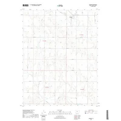
2018 Map of Paradise
USGS Topo · Published 2018About this map
Paradise serves as the primary settlement hub in this section of Russell County, situated near the northern confluence of Eagle Cr and Paradise Cr. The landscape is defined by the deep meandering course of the Saline River which cuts through the southern portion of the quadrangle. This river valley dictates the local transportation network, with routes like Mellard Rd and Saline Rd following the natural contours of the terrain. The map documents a structured grid of rural section lines, including Luray Rd and Fairview Rd, which connect the small town of Paradise to the surrounding agricultural uplands. The intersection of local history and topography is evident in the naming conventions of roads like Fairport Rd and Waldo Rd, which point toward neighboring communities and early transit corridors in central Kansas.
Find a feature on this map
23 named features on this map. Tap any name to fly to it.
Don’t see what you’re looking for? This feature index may not catch every label — zoom into the map to look around manually.
Map Details
Editions of this 2018 Paradise Map
This is the sole edition of this map. No revisions or reprints were ever made.
Other maps of this area

1896 · Osborne
USGS Topo · 1:125,000

1896 · Russell
USGS Topo · 1:125,000

1896 · Hays
USGS Topo · 1:125,000

1896 · Plainville
USGS Topo · 1:125,000

1955 · Great Bend
USGS Topo · 1:250,000

1955 · Beloit
USGS Topo · 1:250,000

1957 · Great Bend
USGS Topo · 1:250,000

1958 · Great Bend
USGS Topo · 1:250,000

1959 · Beloit
USGS Topo · 1:250,000

1967 · Russell NW
USGS Topo · 1:24,000