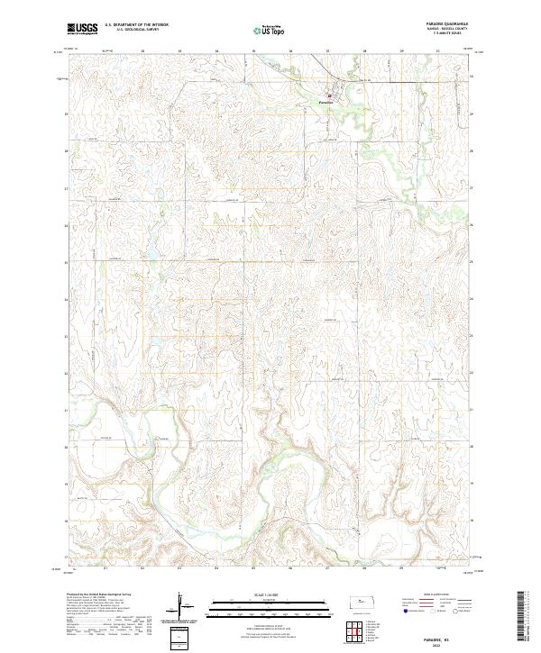
2022 Map of Paradise
USGS Topo · Published 2022About this map
Paradise stands as the primary settlement in this part of north-central Kansas, situated at the intersection of Main St and Waldo Rd. The surrounding landscape is defined by the sharp transition from the uplands down into the deeply incised drainage basins of Paradise Cr and Eagle Cr to the north, and the Saline River to the south. This modern survey illustrates the persistent grid of rural section roads, such as Luray Rd and Fairview Rd, that navigate the dissected breaks. The proximity of the Saline River corridor and its associated tributaries like Mellard Rd highlights a geography where settlement and transportation are closely bound to the water-carved valleys and the high, level divides between them.
Find a feature on this map
34 named features on this map. Tap any name to fly to it.
Don’t see what you’re looking for? This feature index may not catch every label — zoom into the map to look around manually.
Map Details
Editions of this 2022 Paradise Map
This is the sole edition of this map. No revisions or reprints were ever made.
Other maps of this area

1896 · Osborne
USGS Topo · 1:125,000

1896 · Russell
USGS Topo · 1:125,000

1896 · Hays
USGS Topo · 1:125,000

1896 · Plainville
USGS Topo · 1:125,000

1955 · Great Bend
USGS Topo · 1:250,000

1955 · Beloit
USGS Topo · 1:250,000

1957 · Great Bend
USGS Topo · 1:250,000

1958 · Great Bend
USGS Topo · 1:250,000

1959 · Beloit
USGS Topo · 1:250,000

1967 · Russell NW
USGS Topo · 1:24,000