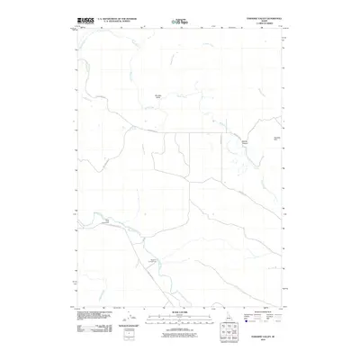
2010 Map of Paradise Valley
USGS Topo · Published 2010About this map
Paradise Valley and its surrounding drainage systems define this Idaho landscape, where the Blackfoot River cuts through the southern portion of the quadrangle. The map documents a network of rural access routes like Blackfoot River Rd and Corral Creek Rd that connect isolated landmarks and recreational sites. High-elevation features such as Heaton Spring and the Paradise Hills provide context for the terrain, while Smiley Canyon sits in the east where Brush Creek winds toward the valley. This area serves as a junction for local travelers and outdoorsmen, anchored by the Grave Creek Campground and Sagehen Campground near the river. The presence of numerous tributaries, including Garden Creek, Paradise Creek, and Willow Creek, illustrates the complex hydrology that supports the region's ranching and recreation activities.
Find a feature on this map
17 named features on this map. Tap any name to fly to it.
Don’t see what you’re looking for? This feature index may not catch every label — zoom into the map to look around manually.
Map Details
Editions of this 2010 Paradise Valley Map
This is the sole edition of this map. No revisions or reprints were ever made.
Other maps of this area

1914 · Henry
USGS Topo · 1:48,000

1916 · Henry
USGS Topo · 1:62,500

1917 · Portneuf
USGS Topo · 1:62,500

1917 · Cranes Flat
USGS Topo · 1:62,500

1918 · Paradise Valley
USGS Topo · 1:62,500

1955 · Driggs
USGS Topo · 1:250,000

1955 · Preston
USGS Topo · 1:250,000

1958 · Driggs
USGS Topo · 1:250,000

1958 · Preston
USGS Topo · 1:250,000

1962 · Driggs
USGS Topo · 1:250,000