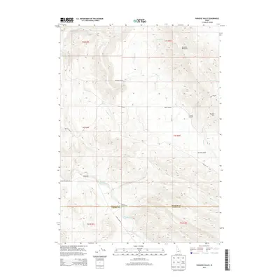
2013 Map of Paradise Valley
USGS Topo · Published 2013About this map
Paradise Valley and the Blackfoot Mountains characterize this high-elevation landscape along the border of Bingham and Caribou counties. The settlement pattern is sparse, defined by essential access routes like Blackfoot River Rd and Brush Creek Rd that navigate the varied terrain. In the southern reach of the quadrangle, the Blackfoot River cuts through the territory, creating a natural corridor for recreation and passage marked by the Grave Creek Campground and Sagehen Campground.
Find a feature on this map
25 named features on this map. Tap any name to fly to it.
Don’t see what you’re looking for? This feature index may not catch every label — zoom into the map to look around manually.
Map Details
Editions of this 2013 Paradise Valley Map
This is the sole edition of this map. No revisions or reprints were ever made.
Other maps of this area

1914 · Henry
USGS Topo · 1:48,000

1916 · Henry
USGS Topo · 1:62,500

1917 · Portneuf
USGS Topo · 1:62,500

1917 · Cranes Flat
USGS Topo · 1:62,500

1918 · Paradise Valley
USGS Topo · 1:62,500

1955 · Driggs
USGS Topo · 1:250,000

1955 · Preston
USGS Topo · 1:250,000

1958 · Driggs
USGS Topo · 1:250,000

1958 · Preston
USGS Topo · 1:250,000

1962 · Driggs
USGS Topo · 1:250,000