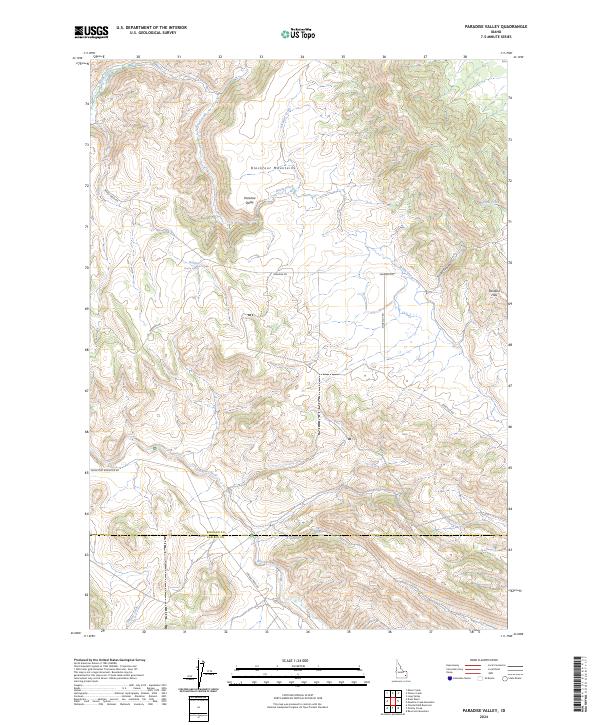
2024 Map of Paradise Valley
USGS Topo · Published 2024About this map
The Blackfoot Mountains dominate this high-altitude landscape where the headwaters of several drainages originate. At the center of the sheet lies the high basin of Paradise Valley, a name that likely reflects the character of the terrain to early settlers. Water is the primary architect of the geography here, with the Blackfoot River cutting across the southern portion of the quadrangle. Significant water sources like Heaton Spring and the winding course of Garden Creek provide vital resources in an area defined by its significant relief, including the eastern Paradise Hills and the deep cut of Smiley Canyon.
Find a feature on this map
23 named features on this map. Tap any name to fly to it.
Don’t see what you’re looking for? This feature index may not catch every label — zoom into the map to look around manually.
Map Details
Editions of this 2024 Paradise Valley Map
This is the sole edition of this map. No revisions or reprints were ever made.
Other maps of this area

1914 · Henry
USGS Topo · 1:48,000

1916 · Henry
USGS Topo · 1:62,500

1917 · Portneuf
USGS Topo · 1:62,500

1917 · Cranes Flat
USGS Topo · 1:62,500

1918 · Paradise Valley
USGS Topo · 1:62,500

1955 · Driggs
USGS Topo · 1:250,000

1955 · Preston
USGS Topo · 1:250,000

1958 · Driggs
USGS Topo · 1:250,000

1958 · Preston
USGS Topo · 1:250,000

1962 · Driggs
USGS Topo · 1:250,000