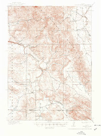
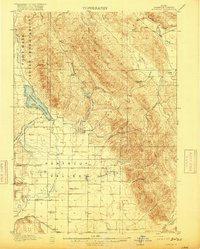
1918 Map of Paradise Valley
USGS Topo · Published 1949About this map
The Fort Hall Indian Reservation dominates the western portion of this 1916 survey, where the rugged terrain of the Blue Mountains and High Basin Ridge meets the volcanic activity of the east. A prominent Lava Field marks the northeastern corner near Willow Creek, contrasting with the more traditional river valleys to the south. The drainage network is complex, defined by the Blackfoot River as it snakes through the lower elevations and the Portneuf River visible near the southern boundary.
Find a feature on this map
31 named features on this map. Tap any name to fly to it.
Don’t see what you’re looking for? This feature index may not catch every label — zoom into the map to look around manually.
Map Details
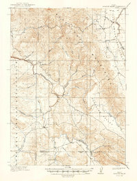
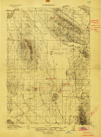
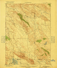
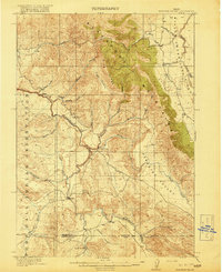
Editions of this 1918 Paradise Valley Map
3 editions found
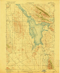
Other maps of this area
1914 · Henry
USGS Topo · 1:48,000
1916 · Henry
USGS Topo · 1:62,500
1917 · Portneuf
USGS Topo · 1:62,500
1917 · Cranes Flat
USGS Topo · 1:62,500
1918 · Paradise Valley
USGS Topo · 1:62,500

1924 · Hell Creek
USGS Topo · 1:62,500

1924 · Ammon
USGS Topo · 1:62,500

1926 · Hell Creek
USGS Topo · 1:62,500

1950 · Goshen
USGS Topo · 1:24,000
1951 · Higham Peak
USGS Topo · 1:24,000