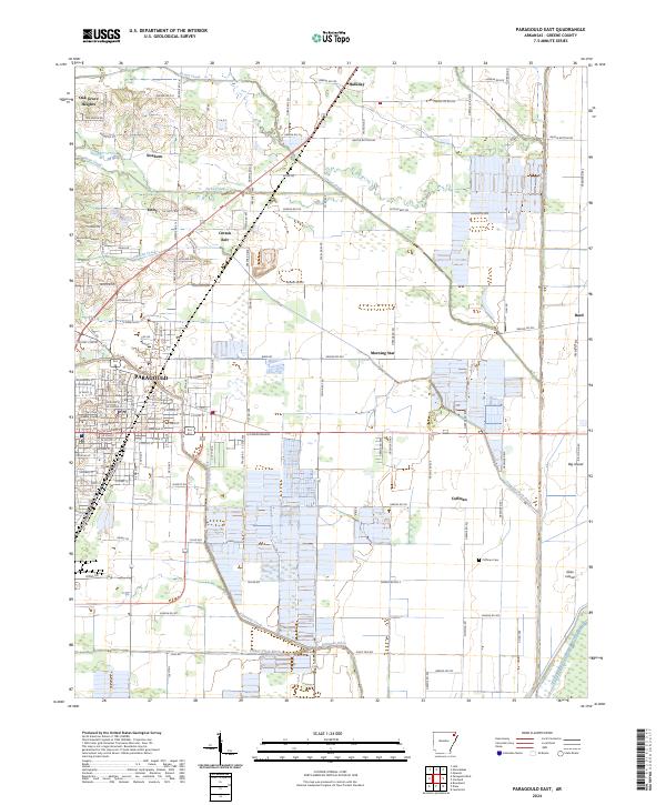
2024 Map of Paragould East
USGS Topo · Published 2024About this map
Paragould serves as the focal point of this Greene County landscape, where the rectilinear street grid of the city center meets an extensive network of drainage ditches and creeks. The civic heart of the area is anchored by the Greene County Courthouse, while surrounding rural communities such as Cotton Belt, Morning Star, and Oak Grove Heights illustrate the dispersed settlement pattern characteristic of the Arkansas Delta. The terrain is defined by engineered waterways like the Eightmile Ditch, Village Greek Ditch, and Johnson Creek Ditch, which manage the low-lying lands around Big Island. These features, along with the numerous named country roads and the Cotton Belt Rd, trace the agricultural development and infrastructure required to navigate and cultivate this alluvial plain. Genealogists will find value in the precise locations of the Coffman Cem and Memorial Gardens Cem.
Find a feature on this map
141 named features on this map. Tap any name to fly to it.
Don’t see what you’re looking for? This feature index may not catch every label — zoom into the map to look around manually.
Map Details
Editions of this 2024 Paragould East Map
This is the sole edition of this map. No revisions or reprints were ever made.
Other maps of this area

1939 · Jonesboro
USGS Topo · 1:62,500

1940 · Gainesville
USGS Topo · 1:62,500

1940 · Marmaduke
USGS Topo · 1:62,500

1941 · Leachville
USGS Topo · 1:62,500

1953 · Memphis
USGS Topo · 1:250,000

1956 · Leachville
USGS Topo · 1:62,500

1956 · Memphis
USGS Topo · 1:250,000

1957 · Poplar Bluff
USGS Topo · 1:250,000

1958 · Jonesboro
USGS Topo · 1:62,500

1958 · Marmaduke
USGS Topo · 1:62,500