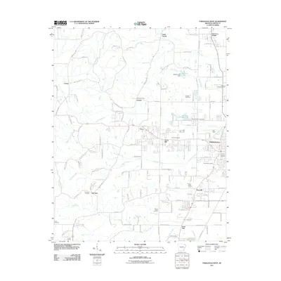
2011 Map of Paragould West
USGS Topo · Published 2011About this map
Paragould and its western outskirts are documented here during a period of modern expansion into the Greene County countryside. The landscape is defined by the drainage systems of Eightmile Creek and Village Creek, which weave between established rural communities like Pine Knot, Center Hill, and Rock Hill. For genealogists, the map is an exceptional resource, recording numerous burial grounds including the expansive Linwood Cemetery, Saint Marys Cemetery, and the smaller Pruetts Chapel Cemetery. The transition from urban center to agriculture is visible as residential streets give way to named county routes like Greene Road 637. Infrastructure such as Kirk Field and recreational sites like Reynolds Park Lake highlight the mid-century development of this Delta-region community.
Find a feature on this map
100 named features on this map. Tap any name to fly to it.
Don’t see what you’re looking for? This feature index may not catch every label — zoom into the map to look around manually.
Map Details
Editions of this 2011 Paragould West Map
This is the sole edition of this map. No revisions or reprints were ever made.
Other maps of this area

1939 · Jonesboro
USGS Topo · 1:62,500

1940 · Gainesville
USGS Topo · 1:62,500

1940 · Marmaduke
USGS Topo · 1:62,500

1941 · Leachville
USGS Topo · 1:62,500

1953 · Memphis
USGS Topo · 1:250,000

1956 · Leachville
USGS Topo · 1:62,500

1956 · Memphis
USGS Topo · 1:250,000

1957 · Poplar Bluff
USGS Topo · 1:250,000

1958 · Jonesboro
USGS Topo · 1:62,500

1958 · Marmaduke
USGS Topo · 1:62,500