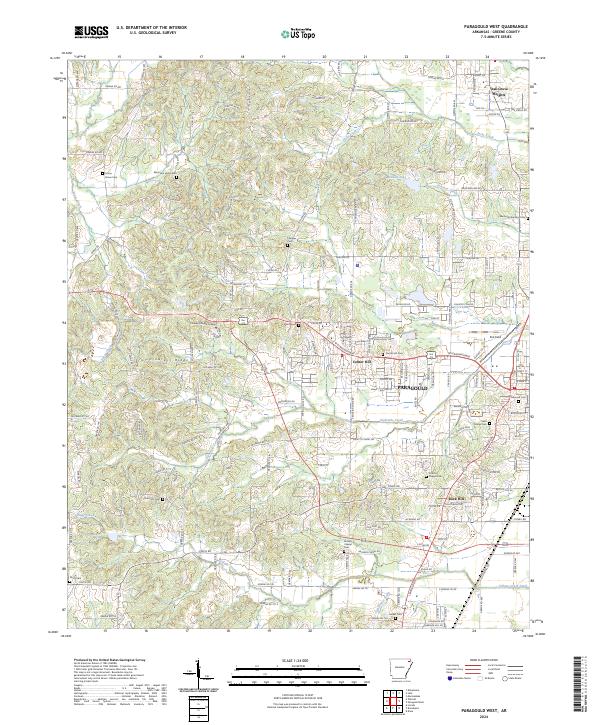
2024 Map of Paragould West
USGS Topo · Published 2024About this map
Crowleys Ridge rises as the dominant topographic feature of this Greene County landscape, shaping the development of Paragould and its surrounding communities. The map detail reflects a densely settled rural-to-urban transition, where long-established cemeteries like Linwood Cem and Saint Marys Cem sit near the city's western edge. Educational and recreational landmarks are prominent, including the campus of Crowley's Ridge College and the airfield at Kirk Field. The drainage pattern is defined by numerous winding watercourses such as Eightmile Creek and Village Creek, which navigate the varying elevations of the ridge. Smaller settlements like Oak Grove Heights, Center Hill, and Rock Hill are connected by a network of county roads, illustrating the persistent residential growth outside the main city center. This survey captures the modern intersection of historic burial grounds, such as Union Grove Cem and Pruets Chapel Cem, with the contemporary infrastructure of Bus 412.
Find a feature on this map
79 named features on this map. Tap any name to fly to it.
Don’t see what you’re looking for? This feature index may not catch every label — zoom into the map to look around manually.
Map Details
Editions of this 2024 Paragould West Map
This is the sole edition of this map. No revisions or reprints were ever made.
Other maps of this area

1939 · Jonesboro
USGS Topo · 1:62,500

1940 · Gainesville
USGS Topo · 1:62,500

1940 · Marmaduke
USGS Topo · 1:62,500

1941 · Leachville
USGS Topo · 1:62,500

1953 · Memphis
USGS Topo · 1:250,000

1956 · Leachville
USGS Topo · 1:62,500

1956 · Memphis
USGS Topo · 1:250,000

1957 · Poplar Bluff
USGS Topo · 1:250,000

1958 · Jonesboro
USGS Topo · 1:62,500

1958 · Marmaduke
USGS Topo · 1:62,500