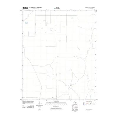
2010 Map of Pardue Camp
USGS Topo · Published 2010About this map
Rita Blanca Creek meanders through the eastern portion of this Hartley County landscape, defining the local drainage patterns in an area largely dominated by the large-scale agricultural and ranching grid. The map highlights two specific nodes of activity, Pardue Camp and Bishop Camp, which suggest the localized centers of operation common in the Texas Panhandle's cattle and farming industries. A systematic network of roads, including Fm 998, Feedlot Rd, and E Airport Rd, reveals how the land was partitioned and accessed for commercial transport at the start of the 21st century. The scarcity of named settlements reinforces the remote, industrial nature of this high plains region, where infrastructure is purpose-built for the movement of livestock and grain.
Find a feature on this map
12 named features on this map. Tap any name to fly to it.
Don’t see what you’re looking for? This feature index may not catch every label — zoom into the map to look around manually.
Map Details
Editions of this 2010 Pardue Camp Map
This is the sole edition of this map. No revisions or reprints were ever made.
Other maps of this area

1954 · Tucumcari
USGS Topo · 1:250,000

1954 · Dalhart
USGS Topo · 1:250,000

1958 · Tucumcari
USGS Topo · 1:250,000

1958 · Dalhart
USGS Topo · 1:250,000

1962 · Dalhart
USGS Topo · 1:250,000

1972 · Hartley SW
USGS Topo · 1:24,000

1973 · Pardue Camp
USGS Topo · 1:24,000

1973 · King SW
USGS Topo · 1:24,000

1973 · Hartley
USGS Topo · 1:24,000

1973 · King
USGS Topo · 1:24,000