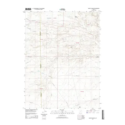
2014 Map of Pariette Draw SW
USGS Topo · Published 2014About this map
Pleasant Valley and the vast Pariette Bench dominate this high desert landscape along the border of Duchesne and Uintah counties. The 2014 survey documents a region defined by managed water and ranching infrastructure, where Butte Reservoir and Billeys Reservoir provide critical collection points in an arid environment. A network of ranch roads, including Felter Ranch Rd and Nelson Farm Rd, connects these isolated water sources to the surrounding terrain. To the south and east, the land descends into Eightmile Flat and the deep incisions of Castle Peak Draw. This map illustrates the intersection of modern logistics and traditional land use, showing how natural features like Odekirk Spring remain vital markers alongside contemporary township and range boundaries in the Uinta Basin.
Find a feature on this map
29 named features on this map. Tap any name to fly to it.
Don’t see what you’re looking for? This feature index may not catch every label — zoom into the map to look around manually.
Map Details
Editions of this 2014 Pariette Draw SW Map
This is the sole edition of this map. No revisions or reprints were ever made.
Other maps of this area

1885 · East Tavaputs
USGS Topo · 1:250,000

1885 · Ashley
USGS Topo · 1:250,000

1885 · Uinta
USGS Topo · 1:250,000

1886 · Price River
USGS Topo · 1:250,000

1896 · Price River
USGS Topo · 1:250,000

1917 · Vernal
USGS Topo · 1:125,000

1939 · Duchesne
USGS Topo · 1:125,000

1953 · Nutters Hole
USGS Topo · 1:62,500

1954 · Salt Lake City
USGS Topo · 1:250,000

1954 · Vernal
USGS Topo · 1:250,000