Loading...
Loading map...2005 Map of Paris
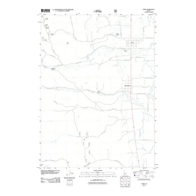
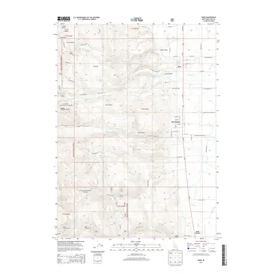
USGS Topo · Published 2007About this map
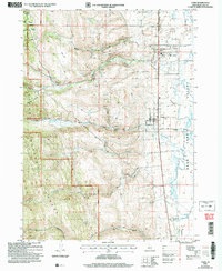
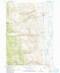
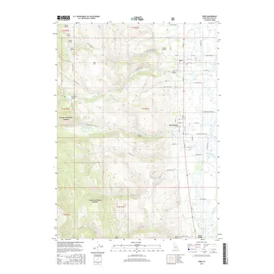
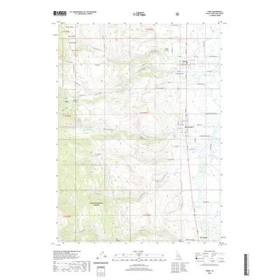
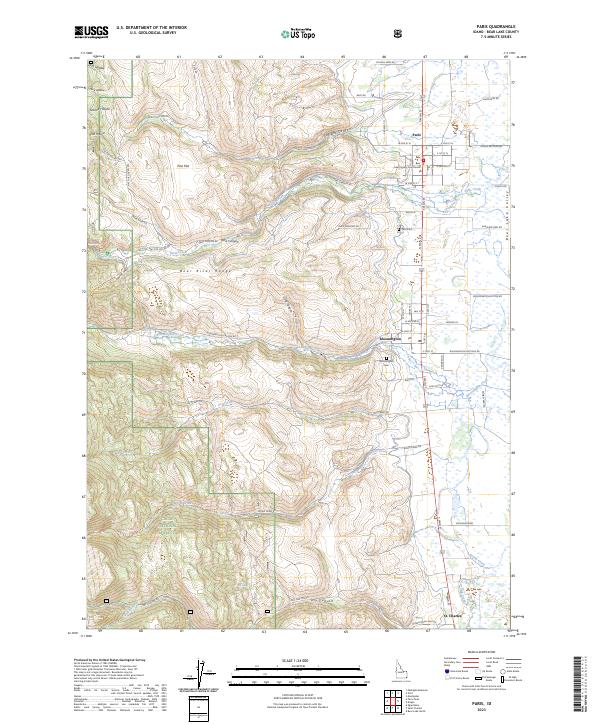
Paris and Bloomington sit at the western edge of the Bear Lake Valley, where the steep drainages of the Cache National Forest meet the agricultural lowlands. The landscape is defined by the transition from high-elevation canyon systems like Sleight Canyon and Paris Canyon to the managed water resources on the valley floor. Evidence of early 21st-century local infrastructure is present, including the Powerplant on Paris Creek and a Gaging Station along Bloomington Creek.
Find a feature on this map
33 named features on this map. Tap any name to fly to it.
Don’t see what you’re looking for? This feature index may not catch every label — zoom into the map to look around manually.
Map Details
Date Portrayed2005
Date Published2007
PublisherU.S. Geological Survey
Map TypeTopographic
Scale1:24,000
Physical Dimensions22 x 26.9 inches
Editions of this 2005 Paris Map
This is the sole edition of this map. No revisions or reprints were ever made.
Historical Maps of Paris Through Time
7 maps found
Featured Locations
Source Details
SourceU.S. Geological Survey
CopyrightPublic Domain