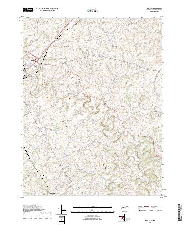
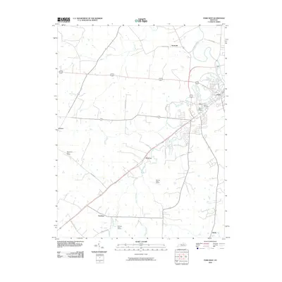
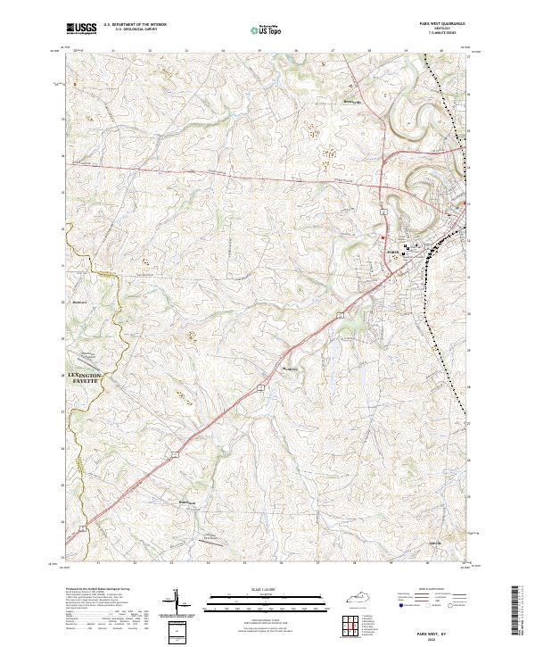
2022 Map of Paris East
USGS Topo · Published 2022About this map
Paris sits at the western edge of this landscape, where the town's grid meets the undulating bluegrass of Bourbon County. The terrain is defined by the winding course of Stoner Creek, which flows past the established estates of Winburn Farm and Muckross Farm. This 2022 survey captures the rural character of the region, anchored by the long-standing topographic landmark of Cane Ridge and the southern settlement of Escondida.
Find a feature on this map
45 named features on this map. Tap any name to fly to it.
Don’t see what you’re looking for? This feature index may not catch every label — zoom into the map to look around manually.
Map Details
Editions of this 2022 Paris East Map
This is the sole edition of this map. No revisions or reprints were ever made.
Historical Maps of Paris Through Time
12 maps found
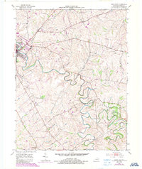
1952 Paris East
Bourbon County, KY
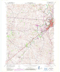
1954 Paris West
Bourbon County, KY
2010 Paris East
Bourbon County, KY
2010 Paris West
Bourbon County, KY
2013 Paris East
Bourbon County, KY
2013 Paris West
Bourbon County, KY
2016 Paris East
Bourbon County, KY
2016 Paris West
Bourbon County, KY
2019 Paris East
Bourbon County, KY
2019 Paris West
Bourbon County, KY
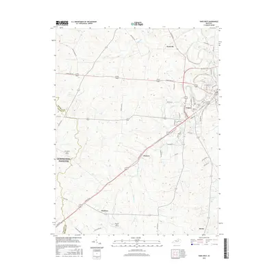
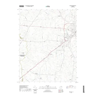
2022 Paris East
Bourbon County, KY
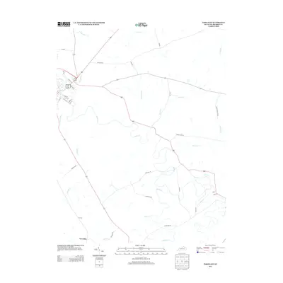
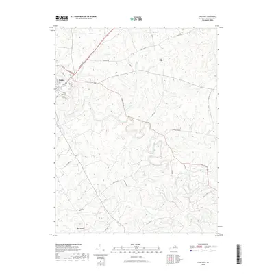
2022 Paris West
Bourbon County, KY