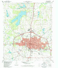
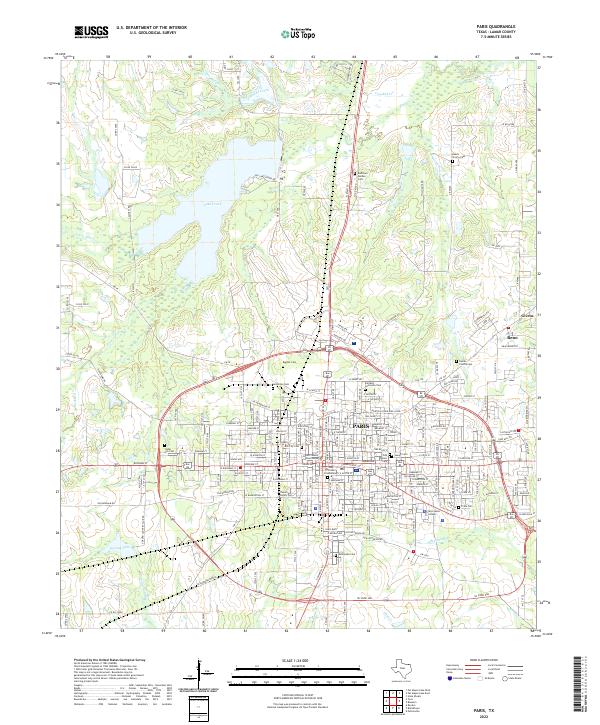
1903 Map of Paris
USGS Topo · Published 1903About this map
The Red River defines the southern boundary of the Indian Territory in this early twentieth-century survey, a landscape where the transition from Oklahoma's Choctaw Nation to the Texas border is marked by winding waterways and nascent settlements. The northern banks are defined by the convergence of the Boggy River and Lick Creek with the main channel, creating a complex drainage system that supported early homesteads and travel routes. Small community hubs like Grant and Oberlin appear alongside landmarks such as the Camp Ground, suggesting the communal and social gathering points essential to frontier life before the era of modern development.
Find a feature on this map
21 named features on this map. Tap any name to fly to it.
Don’t see what you’re looking for? This feature index may not catch every label — zoom into the map to look around manually.
Map Details
Editions of this 1903 Paris Map
This is the sole edition of this map. No revisions or reprints were ever made.
Historical Maps of Paris Through Time
7 maps found