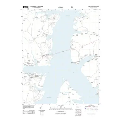
2011 Map of Paris Landing
USGS Topo · Published 2011About this map
Kentucky Lake dominates this landscape along the Tennessee-Kentucky border, where the wide waters of the Tennessee River meet a shoreline defined by numerous docks, marinas, and residential developments. The area's recreational and residential character is evident in the cluster of waterfront sites such as Paris Landing Marina, Cypress Bay Resort, and the Reelfoot Girl Scout Council Camp. Residential growth is mapped through several named neighborhoods, including Mills Subdivision, Durham Subdivision, and Oak Haven Acres, reflecting the 21st-century shift toward lakeside living and seasonal tourism.
Find a feature on this map
127 named features on this map. Tap any name to fly to it.
Don’t see what you’re looking for? This feature index may not catch every label — zoom into the map to look around manually.
Map Details
Editions of this 2011 Paris Landing Map
This is the sole edition of this map. No revisions or reprints were ever made.
Other maps of this area

1936 · Poplar Creek
USGS Topo · 1:24,000

1936 · Buchanan
USGS Topo · 1:24,000

1936 · Tharpe
USGS Topo · 1:24,000

1936 · New Concord
USGS Topo · 1:24,000

1936 · McKinnon
USGS Topo · 1:24,000

1936 · Hamlin
USGS Topo · 1:24,000

1936 · Centerville Landing
USGS Topo · 1:24,000

1936 · Standing Rock
USGS Topo · 1:24,000

1936 · Springville
USGS Topo · 1:24,000

1938 · Springville
USGS Topo · 1:24,000
Featured Places
- Durham Subdivision, TN
- Oak Wood Estates, TN
- Buchanan Subdivision, TN
- Cabana Estates, TN
- Oak Haven Acres, TN