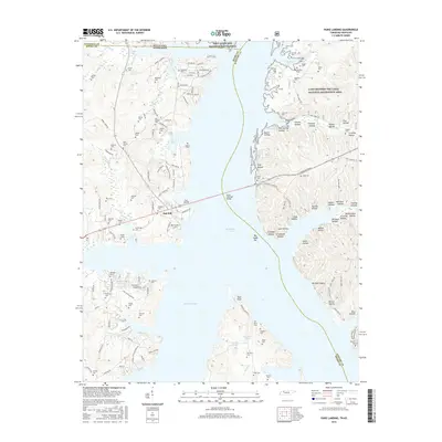
2016 Map of Paris Landing
USGS Topo · Published 2016About this map
Kentucky Lake dominates this 2016 study of the Tennessee-Kentucky border, where the Scott Fitzhugh Bridge connects the developed western shore at Paris Landing to the protected peninsula of the Land Between The Lakes National Recreation Area. The landscape is a mix of contemporary residential subdivisions like Oak Hill and deeply rooted rural history, evidenced by an exceptionally high density of family burial grounds.
Find a feature on this map
150 named features on this map. Tap any name to fly to it.
Don’t see what you’re looking for? This feature index may not catch every label — zoom into the map to look around manually.
Map Details
Editions of this 2016 Paris Landing Map
This is the sole edition of this map. No revisions or reprints were ever made.
Other maps of this area

1936 · Poplar Creek
USGS Topo · 1:24,000

1936 · Buchanan
USGS Topo · 1:24,000

1936 · Tharpe
USGS Topo · 1:24,000

1936 · New Concord
USGS Topo · 1:24,000

1936 · McKinnon
USGS Topo · 1:24,000

1936 · Hamlin
USGS Topo · 1:24,000

1936 · Centerville Landing
USGS Topo · 1:24,000

1936 · Standing Rock
USGS Topo · 1:24,000

1936 · Springville
USGS Topo · 1:24,000

1938 · Springville
USGS Topo · 1:24,000
Featured Places
- Durham Subdivision, TN
- Oak Wood Estates, TN
- Buchanan Subdivision, TN
- Cabana Estates, TN
- Oak Haven Acres, TN