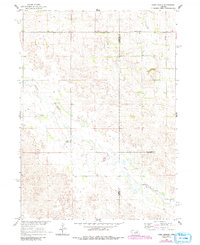
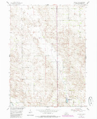
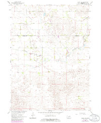
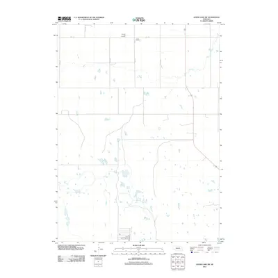
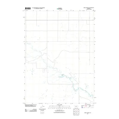
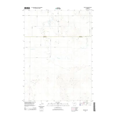
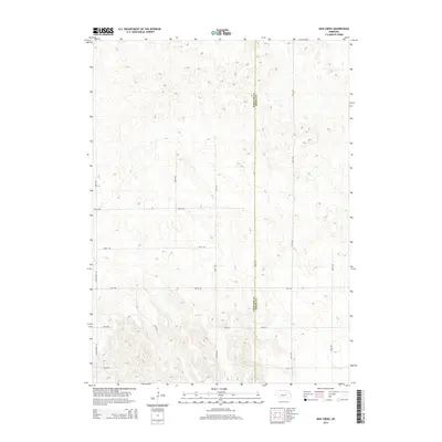
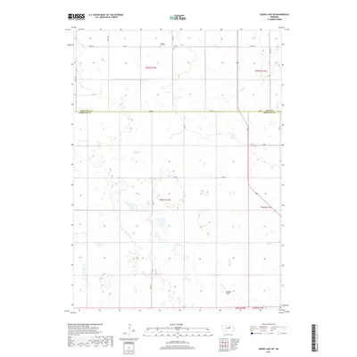
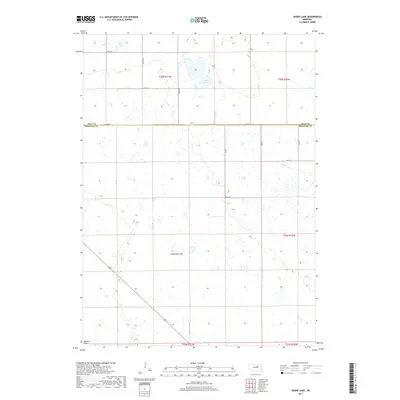
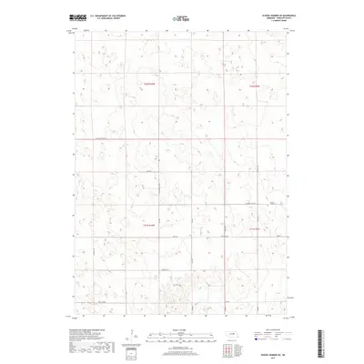
1960 Map of Park Church
USGS Topo · Published 1993About this map
Beaver Creek meanders through this rural Nebraska landscape where Wheeler, Antelope, and Boone counties meet. Originally field-checked in 1960 and updated with aerial data in 1981, this survey documents a period of agricultural settlement and civic structure in the Great Plains. Local community life is anchored by the Park Ch and educational landmarks such as Park Center Sch and School No 3, which served the scattered farmsteads of the region. A notable detail of the water table and irrigation history is the presence of a Flowing Well located west of the creek, signifying the era's reliance on groundwater for ranching and farming operations. The map provides a precise look at the section lines and rural infrastructure that defined these Nebraska counties in the mid-to-late twentieth century.
Find a feature on this map
8 named features on this map. Tap any name to fly to it.
Don’t see what you’re looking for? This feature index may not catch every label — zoom into the map to look around manually.
Map Details
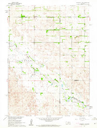
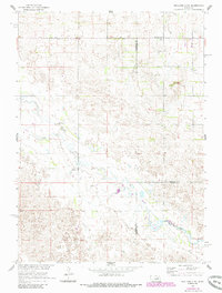
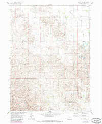
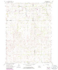
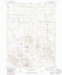
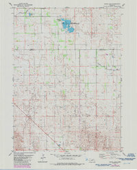
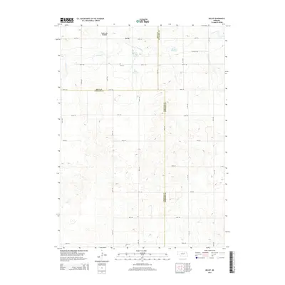
Editions of this 1960 Park Church Map
3 editions found
Historical Maps of Antelope County Through Time
50 maps found
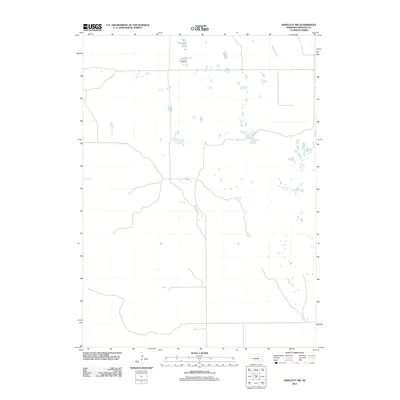
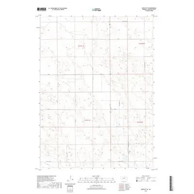
1954 Bartlett NW
Wheeler County, NE
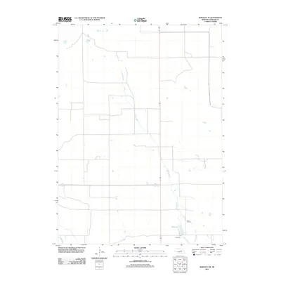
1954 Bartlett SE
Wheeler County, NE
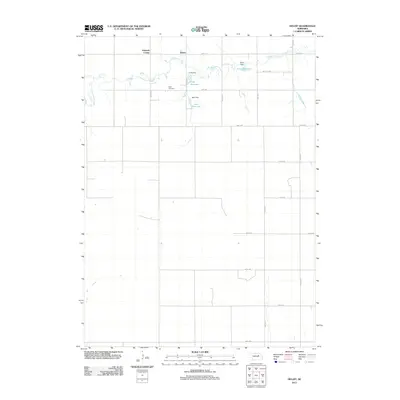
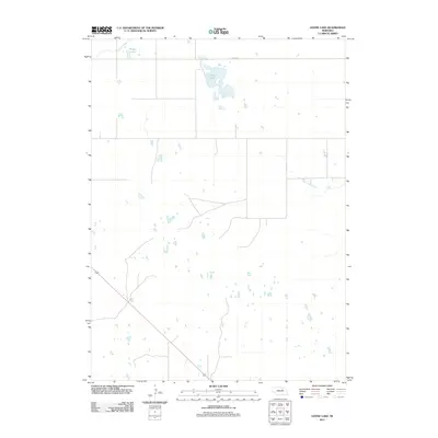
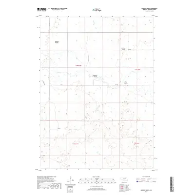
1960 Mignery Ranch
Wheeler County, NE
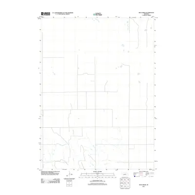
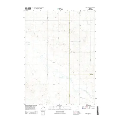
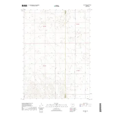
1960 Mud Creek
Wheeler County, NE
1960 Park Church
Wheeler County, NE
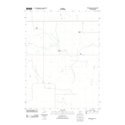
1960 School No. 20
Wheeler County, NE
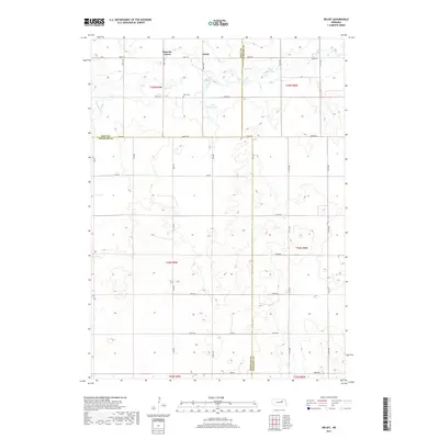
1963 Deloit SW
Wheeler County, NE
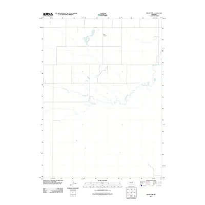
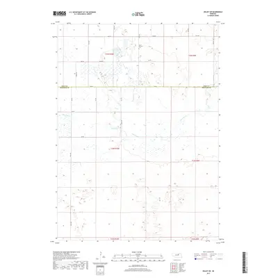
1963 Deloit
Wheeler County, NE
1981 Goose Lake SW
Wheeler County, NE
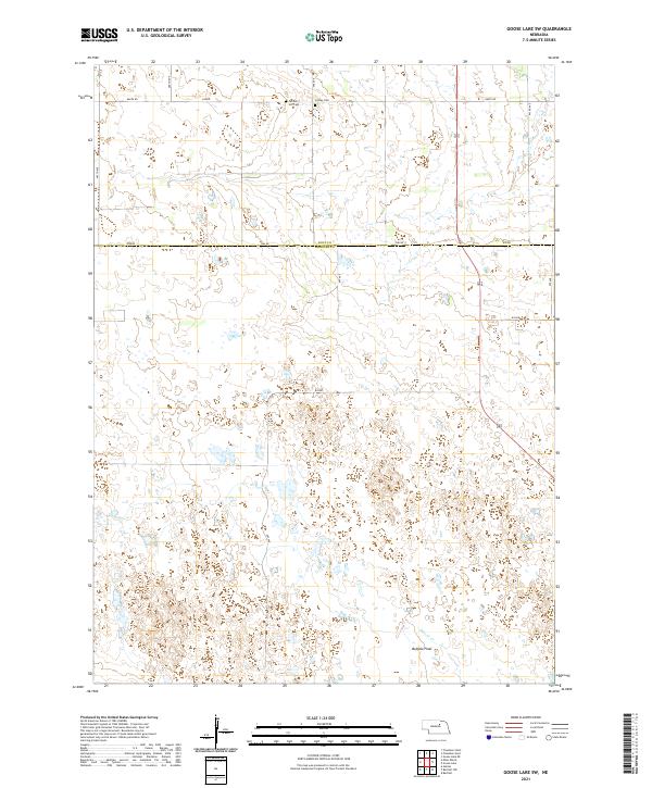
1981 Goose Lake
Wheeler County, NE
2011 Bartlett NW
Wheeler County, NE
2011 Bartlett SE
Wheeler County, NE
2011 Deloit SW
Wheeler County, NE
2011 Deloit
Wheeler County, NE
2011 Goose Lake SW
Wheeler County, NE
2011 Goose Lake
Wheeler County, NE
2011 Mignery Ranch
Wheeler County, NE
2011 Mud Creek
Wheeler County, NE
2011 Park Church
Wheeler County, NE
2011 School Number 20
Wheeler County, NE
2014 Bartlett NW
Wheeler County, NE
2014 Bartlett SE
Wheeler County, NE
2014 Deloit SW
Wheeler County, NE
2014 Deloit
Wheeler County, NE
2014 Goose Lake SW
Wheeler County, NE
2014 Goose Lake
Wheeler County, NE

2014 Mignery Ranch
Wheeler County, NE
2014 Mud Creek
Wheeler County, NE
2014 Park Church
Wheeler County, NE
2014 School Number 20
Wheeler County, NE
2017 Bartlett NW
Wheeler County, NE
2017 Bartlett SE
Wheeler County, NE
2017 Deloit SW
Wheeler County, NE
2017 Deloit
Wheeler County, NE
2017 Goose Lake SW
Wheeler County, NE
2017 Goose Lake
Wheeler County, NE
2017 Mignery Ranch
Wheeler County, NE
2017 Mud Creek
Wheeler County, NE
2017 Park Church
Wheeler County, NE
2017 School Number 20
Wheeler County, NE
2021 Bartlett NW
Wheeler County, NE
2021 Bartlett SE
Wheeler County, NE
2021 Deloit SW
Wheeler County, NE
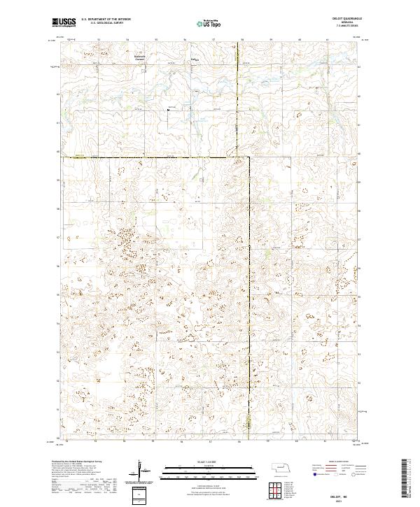
2021 Deloit
Wheeler County, NE
2021 Goose Lake SW
Wheeler County, NE
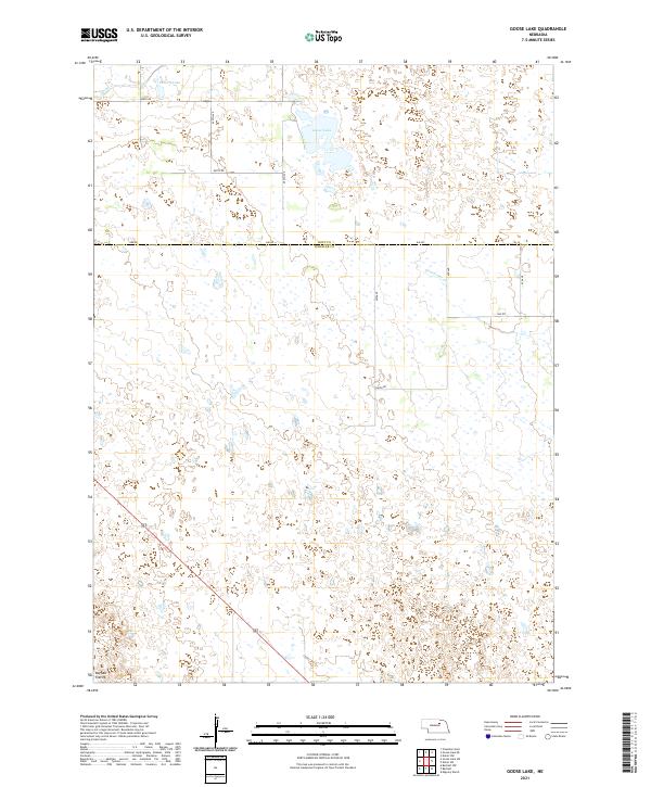
2021 Goose Lake
Wheeler County, NE
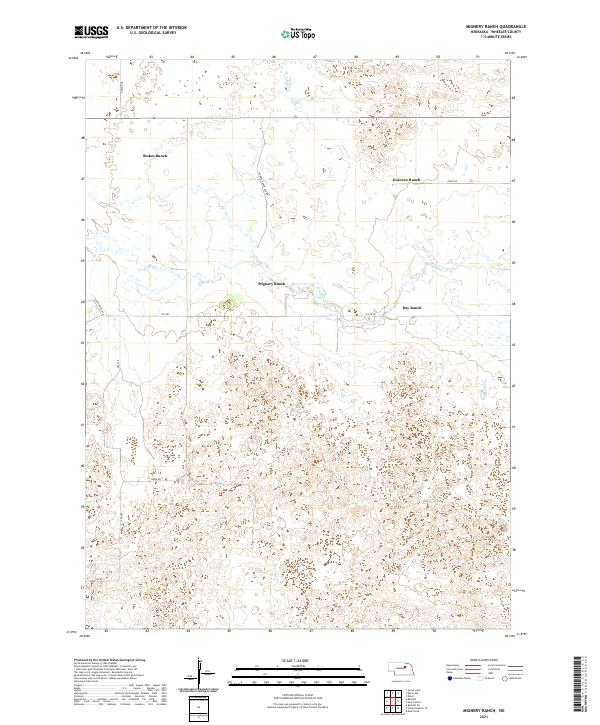
2021 Mignery Ranch
Wheeler County, NE
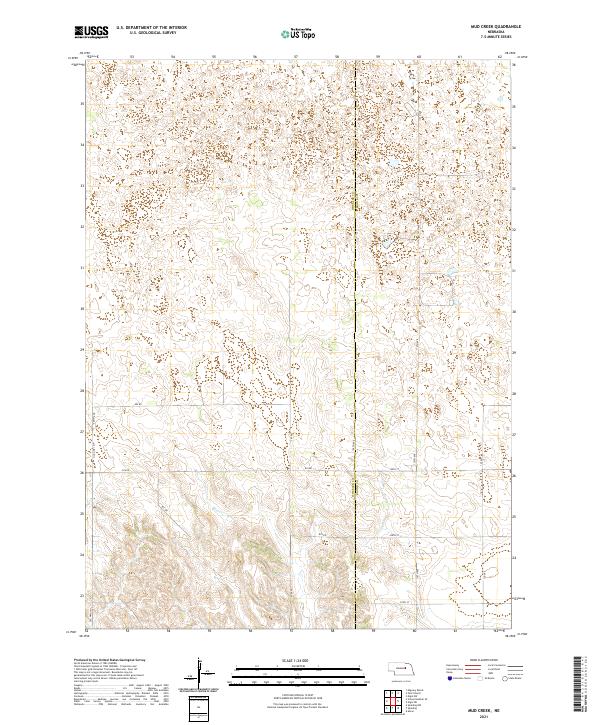
2021 Mud Creek
Wheeler County, NE
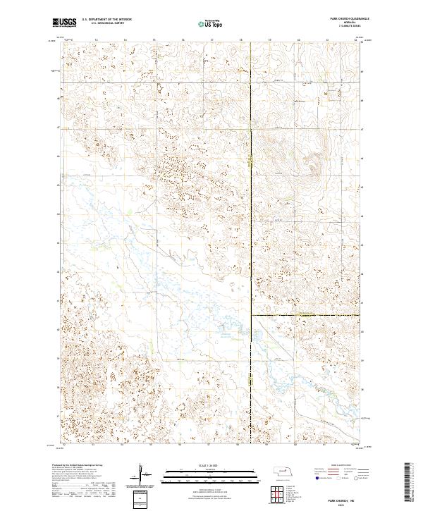
2021 Park Church
Wheeler County, NE
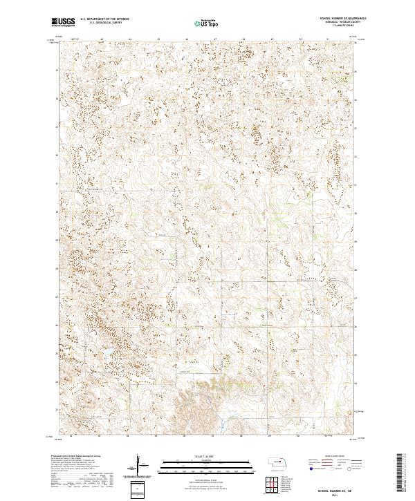
2021 School Number 20
Wheeler County, NE