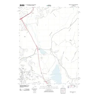
2011 Map of Park City East
USGS Topo · Published 2011About this map
Park City stands as the central hub of this survey, where the transition from a historic mining legacy to a premier recreation destination is visible through the landscape's nomenclature. In the southern reaches, the map meticulously records the industrial heritage of the Wasatch Range with labels for the Queen Esther Shaft, McCune Tunnel, and Silver King Extension. These features sit in direct proximity to the modern infrastructure of Deer Valley Resort, including the Snow Park Ski Lifts, showing how old claims and modern tourism share the same geography.
Find a feature on this map
74 named features on this map. Tap any name to fly to it.
Don’t see what you’re looking for? This feature index may not catch every label — zoom into the map to look around manually.
Map Details
Editions of this 2011 Park City East Map
This is the sole edition of this map. No revisions or reprints were ever made.
Other maps of this area

1885 · Salt Lake
USGS Topo · 1:250,000

1900 · Coalville
USGS Topo · 1:125,000

1903 · Coalville
USGS Topo · 1:125,000

1925 · Ft. Douglas
USGS Topo · 1:125,000

1928 · Ft. Douglas
USGS Topo · 1:125,000

1954 · Salt Lake City
USGS Topo · 1:250,000

1955 · Heber
USGS Topo · 1:24,000

1955 · Park City East
USGS Topo · 1:24,000

1955 · Brighton
USGS Topo · 1:24,000

1955 · Park City West
USGS Topo · 1:24,000