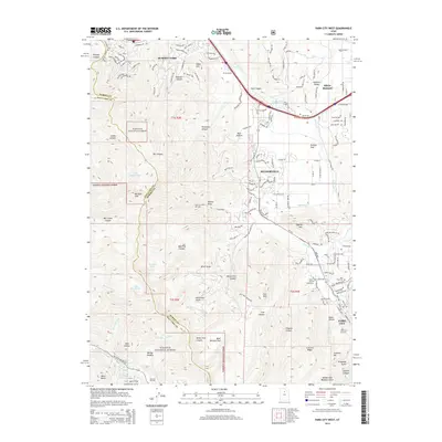
2014 Map of Park City West
USGS Topo · Published 2014About this map
Park City and the surrounding high-altitude terrain define this landscape on the eastern slopes of the Wasatch Range. The map illustrates the expansion of resort infrastructure and residential developments like Snyderville and Summit Park alongside established recreation areas including the Park City West Ski Area and Solitude Ski Area. The transition from historic mining roots to a recreational economy is evident in the proximity of family-named landmarks like the Hi Ute Ranch and traditional sites such as the Park City Cem and Glenwood Cem.
Find a feature on this map
68 named features on this map. Tap any name to fly to it.
Don’t see what you’re looking for? This feature index may not catch every label — zoom into the map to look around manually.
Map Details
Editions of this 2014 Park City West Map
This is the sole edition of this map. No revisions or reprints were ever made.
Other maps of this area

1885 · Salt Lake
USGS Topo · 1:250,000

1900 · Coalville
USGS Topo · 1:125,000

1903 · Coalville
USGS Topo · 1:125,000

1925 · Ft. Douglas
USGS Topo · 1:125,000

1928 · Ft. Douglas
USGS Topo · 1:125,000

1954 · Salt Lake City
USGS Topo · 1:250,000

1955 · Heber
USGS Topo · 1:24,000

1955 · Park City East
USGS Topo · 1:24,000

1955 · Brighton
USGS Topo · 1:24,000

1955 · Mount Aire
USGS Topo · 1:24,000