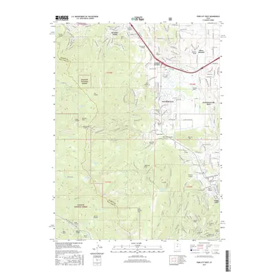
2017 Map of Park City West
USGS Topo · Published 2017About this map
Park City and the Snyderville basin occupy the central and eastern portions of this 2017 survey, where modern development meets the high peaks of the Wasatch National Forest. This era shows a landscape transformed by winter sports and recreation, with an extensive network of trails like Rob's Trail, Spiro Trail, and Jenni's Trail crisscrossing the slopes. Long-standing local history is preserved at the Snyderville Pioneer Cem and Glenwood Cem, marking the heritage of the early settlers who established these mountain communities.
Find a feature on this map
192 named features on this map. Tap any name to fly to it.
Don’t see what you’re looking for? This feature index may not catch every label — zoom into the map to look around manually.
Map Details
Editions of this 2017 Park City West Map
This is the sole edition of this map. No revisions or reprints were ever made.
Other maps of this area

1885 · Salt Lake
USGS Topo · 1:250,000

1900 · Coalville
USGS Topo · 1:125,000

1903 · Coalville
USGS Topo · 1:125,000

1925 · Ft. Douglas
USGS Topo · 1:125,000

1928 · Ft. Douglas
USGS Topo · 1:125,000

1954 · Salt Lake City
USGS Topo · 1:250,000

1955 · Heber
USGS Topo · 1:24,000

1955 · Park City East
USGS Topo · 1:24,000

1955 · Brighton
USGS Topo · 1:24,000

1955 · Mount Aire
USGS Topo · 1:24,000