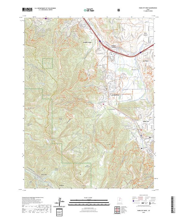
2023 Map of Park City West
USGS Topo · Published 2023About this map
Snyderville and the surrounding high-country settlements define this modern survey of the Wasatch Range. The landscape is a study in transition between the protected lands of the Wasatch National Forest and the intensive recreational and residential development concentrated around Park City and Kimball Junction. Along the eastern edge, the map documents the historical footprint of mining and skiing culture through names like Treasure Hill, Empire Canyon, and Woodside Gulch. Genealogists and local historians can locate several important burial sites, including the Snyderville Pioneer Cem and Glenwood Cem. The complex drainage patterns of the area are clearly delineated, from the headwaters of Big Cottonwood Creek in the south to the northern flow of East Canyon Creek and McLeod Creek, which wind through Parleys Park.
Find a feature on this map
209 named features on this map. Tap any name to fly to it.
Don’t see what you’re looking for? This feature index may not catch every label — zoom into the map to look around manually.
Map Details
Editions of this 2023 Park City West Map
This is the sole edition of this map. No revisions or reprints were ever made.
Other maps of this area

1885 · Salt Lake
USGS Topo · 1:250,000

1900 · Coalville
USGS Topo · 1:125,000

1903 · Coalville
USGS Topo · 1:125,000

1925 · Ft. Douglas
USGS Topo · 1:125,000

1928 · Ft. Douglas
USGS Topo · 1:125,000

1954 · Salt Lake City
USGS Topo · 1:250,000

1955 · Heber
USGS Topo · 1:24,000

1955 · Park City East
USGS Topo · 1:24,000

1955 · Brighton
USGS Topo · 1:24,000

1955 · Mount Aire
USGS Topo · 1:24,000