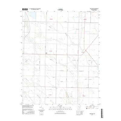
2017 Map of Park Grove
USGS Topo · Published 2017About this map
Park Grove anchors this portion of Monroe County, Arkansas, situated within a landscape defined by an intricate network of waterways and drainage slashes. The terrain is notably wet, characterized by prominent features such as the Boat Gunwale Slash and Big Slash, which weave through the agricultural and forested tracts. Smaller tributaries like Locust Cr, Cypress Cr, and Knights Cr further segment the land, influencing the layout of the local road system.
Find a feature on this map
46 named features on this map. Tap any name to fly to it.
Don’t see what you’re looking for? This feature index may not catch every label — zoom into the map to look around manually.
Map Details
Editions of this 2017 Park Grove Map
This is the sole edition of this map. No revisions or reprints were ever made.
Other maps of this area

1935 · Clarendon
USGS Topo · 1:62,500

1940 · Holly Grove
USGS Topo · 1:62,500

1940 · Brinkley
USGS Topo · 1:62,500

1941 · De Valls Bluff
USGS Topo · 1:62,500

1941 · Clarendon
USGS Topo · 1:62,500

1948 · Helena
USGS Topo · 1:250,000

1950 · Helena
USGS Topo · 1:250,000

1955 · Helena
USGS Topo · 1:250,000
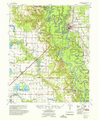
1957 · Clarendon
USGS Topo · 1:62,500

1957 · Holly Grove
USGS Topo · 1:62,500