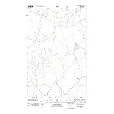
2011 Map of Park Rapids
USGS Topo · Published 2011About this map
Old Dominion Mountain anchors the western portion of this Stevens County landscape, where timber and mining interests have historically shaped the terrain. In the northern reaches, the Longshot Mine sits near the headwaters of South Fork Mill Creek, a testament to the mineral extraction that defined early settlement patterns in this part of Washington. The road network follows the natural drainage of the land, with S Fork Mill Creek Rd and Robins Creek Rd providing access to these upland areas.
Find a feature on this map
33 named features on this map. Tap any name to fly to it.
Don’t see what you’re looking for? This feature index may not catch every label — zoom into the map to look around manually.
Map Details
Editions of this 2011 Park Rapids Map
This is the sole edition of this map. No revisions or reprints were ever made.
Other maps of this area

1927 · Chewelah
USGS Topo · 1:125,000

1929 · Colville
USGS Topo · 1:125,000

1930 · Chewelah
USGS Topo · 1:125,000

1933 · Colville
USGS Topo · 1:125,000

1952 · Gillette Mtn
USGS Topo · 1:24,000

1952 · White Mud Lake
USGS Topo · 1:24,000

1952 · Aladdin
USGS Topo · 1:24,000

1958 · Sandpoint
USGS Topo · 1:250,000

1963 · Sandpoint
USGS Topo · 1:250,000

1964 · Cliff Ridge
USGS Topo · 1:24,000