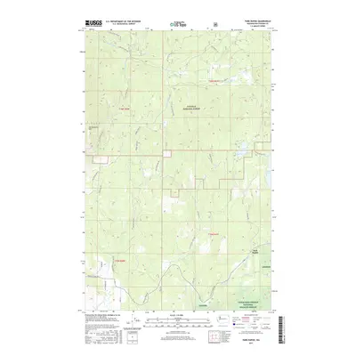
2017 Map of Park Rapids
USGS Topo · Published 2017About this map
Park Rapids serves as a focal point for this section of Stevens County, situated where the Little Pend Oreille River flows near the boundary of the Little Pend Oreille National Wildlife Refuge. The landscape is defined by the sharp transition from the heights of Old Dominion Mtn in the west to the wetlands and valley floors in the south and east. A complex network of Forest Service roads, such as Nat For Dev Rd 9411 and Robbins Creek Rd, provides access into the Colville National Forest, reflecting the area's ongoing management for timber and wildlife.
Find a feature on this map
46 named features on this map. Tap any name to fly to it.
Don’t see what you’re looking for? This feature index may not catch every label — zoom into the map to look around manually.
Map Details
Editions of this 2017 Park Rapids Map
This is the sole edition of this map. No revisions or reprints were ever made.
Other maps of this area

1927 · Chewelah
USGS Topo · 1:125,000

1929 · Colville
USGS Topo · 1:125,000

1930 · Chewelah
USGS Topo · 1:125,000

1933 · Colville
USGS Topo · 1:125,000

1952 · Gillette Mtn
USGS Topo · 1:24,000

1952 · White Mud Lake
USGS Topo · 1:24,000

1952 · Aladdin
USGS Topo · 1:24,000

1958 · Sandpoint
USGS Topo · 1:250,000

1963 · Sandpoint
USGS Topo · 1:250,000

1964 · Cliff Ridge
USGS Topo · 1:24,000