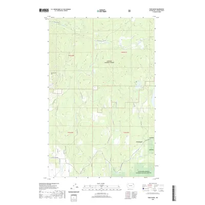
2020 Map of Park Rapids
USGS Topo · Published 2020About this map
Park Rapids sits at a crossroads of wilderness and conservation within the expansive Colville National Forest. This corner of Stevens County is defined by the steep slopes of Old Dominion Mtn and a complex network of timber roads like Nat For Dev Rd 9411. The landscape is carved by water, with the Little Pend Oreille River and its many tributaries, including Hanson Cr and Kegel Cr, draining the highland terrain.
Find a feature on this map
39 named features on this map. Tap any name to fly to it.
Don’t see what you’re looking for? This feature index may not catch every label — zoom into the map to look around manually.
Map Details
Editions of this 2020 Park Rapids Map
This is the sole edition of this map. No revisions or reprints were ever made.
Other maps of this area

1927 · Chewelah
USGS Topo · 1:125,000

1929 · Colville
USGS Topo · 1:125,000

1930 · Chewelah
USGS Topo · 1:125,000

1933 · Colville
USGS Topo · 1:125,000

1952 · Gillette Mtn
USGS Topo · 1:24,000

1952 · White Mud Lake
USGS Topo · 1:24,000

1952 · Aladdin
USGS Topo · 1:24,000

1958 · Sandpoint
USGS Topo · 1:250,000

1963 · Sandpoint
USGS Topo · 1:250,000

1964 · Cliff Ridge
USGS Topo · 1:24,000