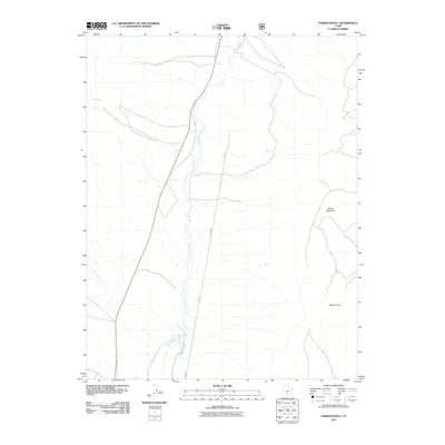
2011 Map of Parker Knoll
USGS Topo · Published 2011About this map
Otter Creek winds through this Piute County high-country landscape, serving as the primary drainage through a territory defined by broad slopes and prominent peaks. The terrain is anchored by the elevation of Parker Mountain in the northeast and Parker Knoll further south, illustrating the transition between the valley floor and the surrounding highlands. This 2011 survey documents the sparse but intentional transportation network of the era, notably Blood Ln, which traces a north-south path through the center of the quadrangle. The map captures a moment of modern land management in Utah, where the open landscape remains largely undeveloped, defined primarily by its natural contours and the seasonal flow of the creek.
Find a feature on this map
4 named features on this map. Tap any name to fly to it.
Don’t see what you’re looking for? This feature index may not catch every label — zoom into the map to look around manually.
Map Details
Editions of this 2011 Parker Knoll Map
This is the sole edition of this map. No revisions or reprints were ever made.
Other maps of this area

1885 · Beaver
USGS Topo · 1:250,000

1885 · Fish Lake
USGS Topo · 1:250,000

1896 · Fish Lake
USGS Topo · 1:250,000

1945 · Marysvale
USGS Topo · 1:62,500

1947 · Marysvale
USGS Topo · 1:62,500

1953 · Richfield
USGS Topo · 1:250,000

1956 · Salina
USGS Topo · 1:250,000

1958 · Richfield
USGS Topo · 1:250,000

1960 · Salina
USGS Topo · 1:250,000

1962 · Salina
USGS Topo · 1:250,000