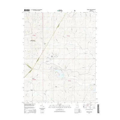
2015 Map of Parker Lake
USGS Topo · Published 2015About this map
Mark Twain National Forest dominates the western landscape of this Missouri quadrangle, where the borders of Perry, Ste. Genevieve, and St. Francois counties converge. The area is defined by a dense network of waterways including S Fork Saline Cr, Cedar Fork, and Dry Fork, which carve through the undulating terrain. Small residential clusters and water-based developments are evident at Parker Lake and near the waters of Lake Perry and Port Perry Number 2 Lake.
Find a feature on this map
63 named features on this map. Tap any name to fly to it.
Don’t see what you’re looking for? This feature index may not catch every label — zoom into the map to look around manually.
Map Details
Editions of this 2015 Parker Lake Map
This is the sole edition of this map. No revisions or reprints were ever made.
Other maps of this area

1907 · Weingarten
USGS Topo · 1:62,500

1909 · Weingarten
USGS Topo · 1:62,500

1910 · Higdon
USGS Topo · 1:62,500

1915 · Chester
USGS Topo · 1:62,500

1923 · Perryville
USGS Topo · 1:62,500

1924 · Perryville
USGS Topo · 1:62,500

1947 · Chester
USGS Topo · 1:62,500

1949 · Paducah
USGS Topo · 1:250,000

1949 · Rolla
USGS Topo · 1:250,000

1950 · Paducah
USGS Topo · 1:250,000