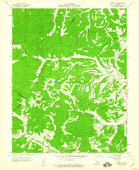
1959 Map of Parker Lake
USGS Topo · Published 1960About this map
Clark National Forest lands dominate this mid-century survey, where the boundaries of Beauvais, Saline, and St Marys townships converge. The landscape is defined by a dense network of watercourses and hollows, including South Fork Saline Creek and the Whitewater River. Human settlement is marked by isolated rural institutions that served these hill communities, such as Baudendistel Sch and Cedar Grove Ch.
Find a feature on this map
28 named features on this map. Tap any name to fly to it.
Don’t see what you’re looking for? This feature index may not catch every label — zoom into the map to look around manually.
Map Details
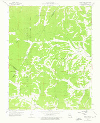
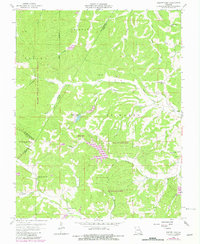
Editions of this 1959 Parker Lake Map
3 editions found
Other maps of this area

1907 · Weingarten
USGS Topo · 1:62,500

1909 · Weingarten
USGS Topo · 1:62,500

1910 · Higdon
USGS Topo · 1:62,500

1915 · Chester
USGS Topo · 1:62,500

1923 · Perryville
USGS Topo · 1:62,500

1924 · Perryville
USGS Topo · 1:62,500

1947 · Chester
USGS Topo · 1:62,500

1949 · Paducah
USGS Topo · 1:250,000

1949 · Rolla
USGS Topo · 1:250,000

1950 · Paducah
USGS Topo · 1:250,000