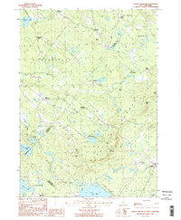
1987 Map of Parker Mountain
USGS Topo · Published 1987About this map
Blue Hills Range dominates the central landscape of this eastern New Hampshire region, rising between the agricultural valleys of Barnstead and Strafford. The map reveals a settlement pattern defined by historic crossroads such as Leighton Corners, Shackford Corners, and Lockes Corner, which once served as the social hubs for scattered upland farms. In the south, the expansive waters of Bow Lake and Jenness Pond mark the transition toward the coastal drainage, while the Little River and Big River provide the primary hydrologic framework for the northern interior. Numerous small Cem markers are noted near the various corners and settlements, offering key points for genealogical research. The presence of a designated Snowmobile Trail and a Boat Ramp on the shore of Bow Lake highlights the recreational character of the area in the late twentieth century.
Find a feature on this map
42 named features on this map. Tap any name to fly to it.
Don’t see what you’re looking for? This feature index may not catch every label — zoom into the map to look around manually.
Map Details
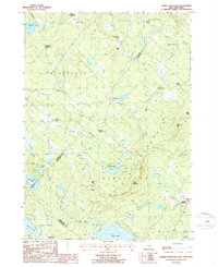
Editions of this 1987 Parker Mountain Map
2 editions found
Other maps of this area

1917 · Mt. Pawtuckaway
USGS Topo · 1:62,500

1919 · Mt. Pawtuckaway
USGS Topo · 1:62,500

1919 · Gilmanton
USGS Topo · 1:62,500

1919 · Alton
USGS Topo · 1:62,500

1921 · Suncook
USGS Topo · 1:62,500

1927 · Gilmanton
USGS Topo · 1:62,500

1939 · Mt. Pawtuckaway
USGS Topo · 1:62,500

1944 · Mt. Pawtuckaway
USGS Topo · 1:62,500

1944 · Suncook
USGS Topo · 1:62,500

1949 · Portland
USGS Topo · 1:250,000