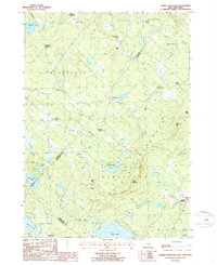
1987 Map of Parker Mountain
USGS Topo · Published 1987About this map
Blue Hills Range dominates this central New Hampshire landscape, providing a high-relief backdrop to the rural settlements of Strafford and Barnstead. In the late 20th century, the area maintained its traditional character, defined by a network of named intersections such as Shackford Corners, Lockes Corner, and Hills Corner. These clusters, along with North Barnstead and South Barnstead, trace the historical development of family homesteads and local trade routes through the hills.
Find a feature on this map
42 named features on this map. Tap any name to fly to it.
Don’t see what you’re looking for? This feature index may not catch every label — zoom into the map to look around manually.
Map Details
Editions of this 1987 Parker Mountain Map
2 editions found
Other maps of this area

1917 · Mt. Pawtuckaway
USGS Topo · 1:62,500

1919 · Mt. Pawtuckaway
USGS Topo · 1:62,500

1919 · Gilmanton
USGS Topo · 1:62,500

1919 · Alton
USGS Topo · 1:62,500

1921 · Suncook
USGS Topo · 1:62,500

1927 · Gilmanton
USGS Topo · 1:62,500

1939 · Mt. Pawtuckaway
USGS Topo · 1:62,500

1944 · Mt. Pawtuckaway
USGS Topo · 1:62,500

1944 · Suncook
USGS Topo · 1:62,500

1949 · Portland
USGS Topo · 1:250,000