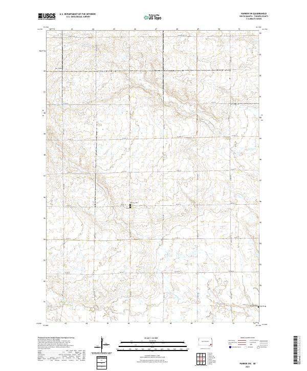
2021 Map of Parker SW
USGS Topo · Published 2021About this map
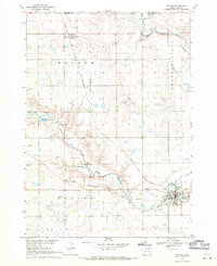
Hurley Cr and Turkey Ridge Cr define the drainage patterns of this rural Turner County landscape, where the land is strictly organized by the Public Land Survey System. The map reveals a high concentration of generational burial sites in the central and southern sections, including Bethany Cem, Zion Cem, and the Swan Lake Catholic Cem in the southeastern corner. These sites, often situated near township boundaries like t98n r54w and t98n r53w, provide essential anchors for family historians and genealogists. The grid-like road network, ranging from S Dakota Hwy 44 to numbered township roads like 279th St, reflects the enduring agrarian structure of the Dakotas in the early twenty-first century.
Find a feature on this map
20 named features on this map. Tap any name to fly to it.
Don’t see what you’re looking for? This feature index may not catch every label — zoom into the map to look around manually.
Map Details
Editions of this 2021 Parker SW Map
This is the sole edition of this map. No revisions or reprints were ever made.
Other maps of this area

1898 · Parker
USGS Topo · 1:125,000

1955 · Sioux Falls
USGS Topo · 1:250,000

1958 · Sioux Falls
USGS Topo · 1:250,000
1968 · Parker NE
USGS Topo · 1:24,000
1968 · Hurley
USGS Topo · 1:24,000

1968 · Parker SW
USGS Topo · 1:24,000
1968 · Viborg
USGS Topo · 1:24,000
1968 · Parker
USGS Topo · 1:24,000

1970 · Turkey Ridge
USGS Topo · 1:24,000

1970 · Freeman SE
USGS Topo · 1:24,000
Featured Places
- Marion Township, SD
- Spring Valley Township, SD
- Hurley Township, SD
- Norway Township, SD
- Parker Township, SD